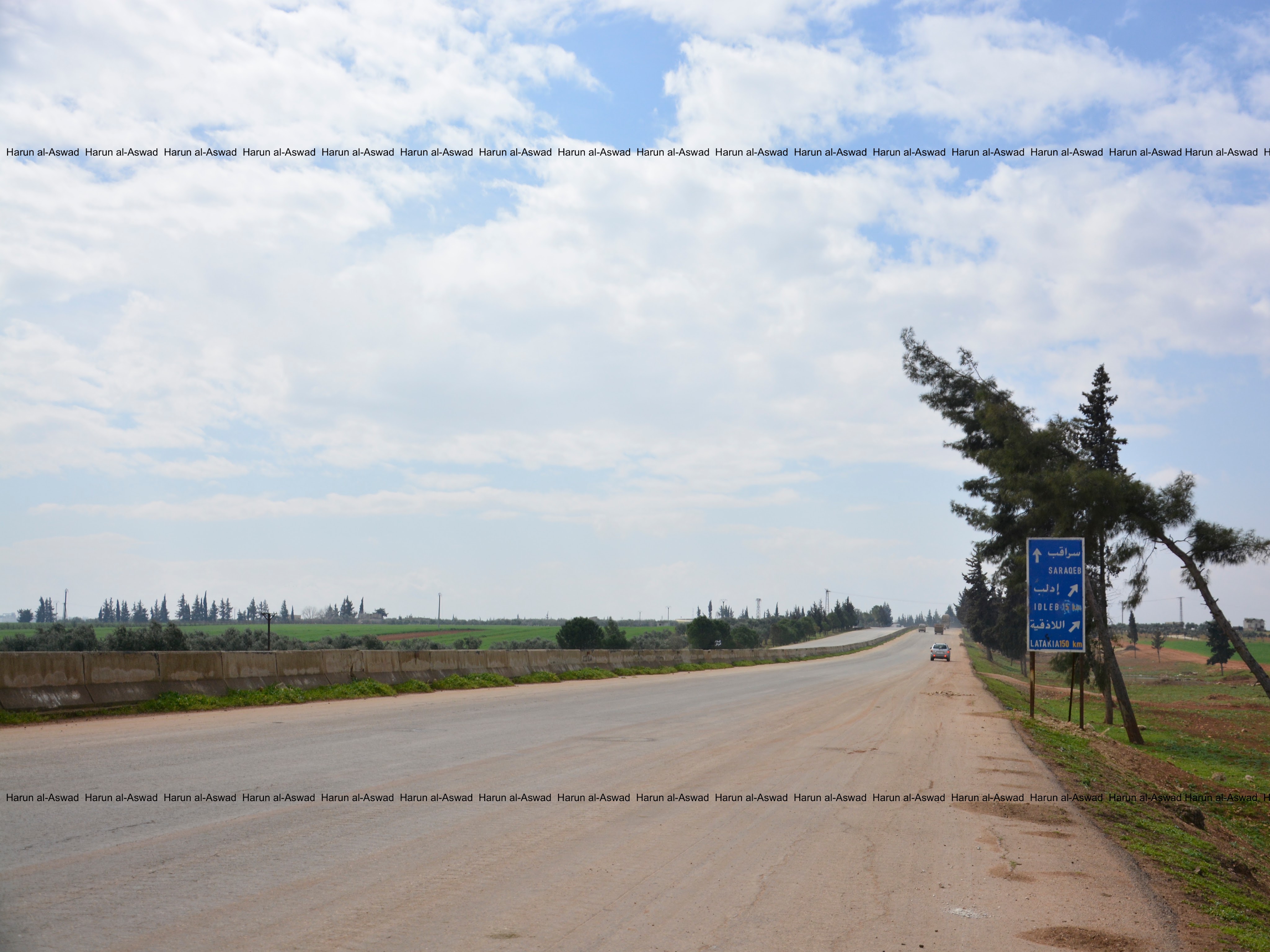
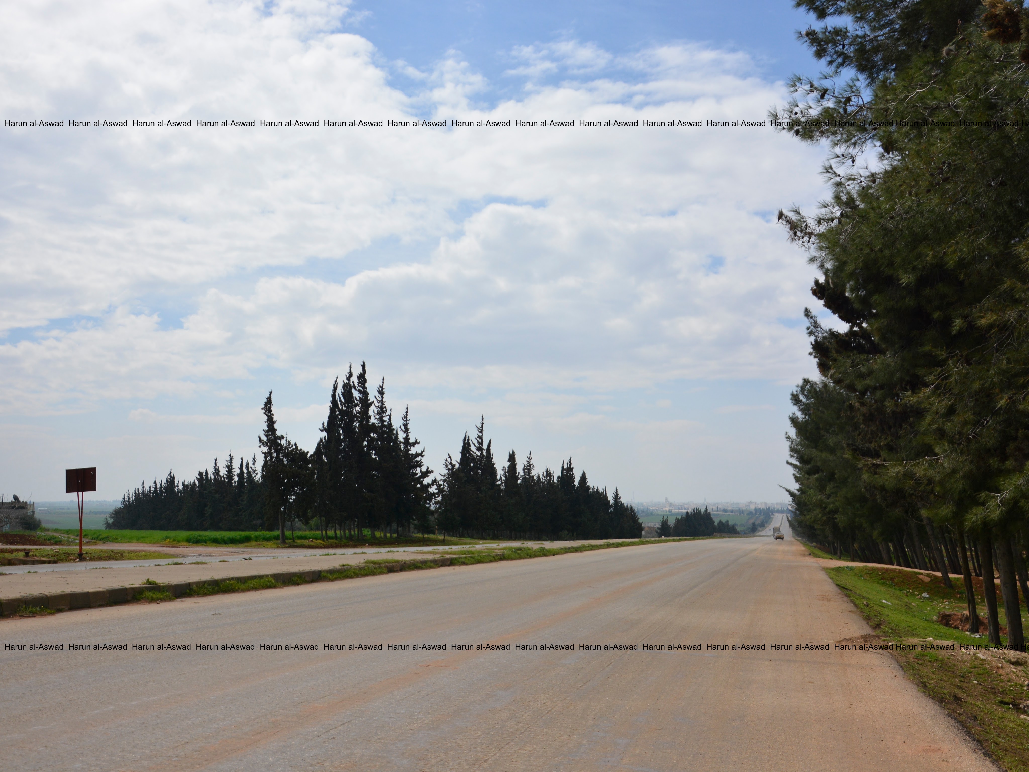
Idlib Province in the northern Syria is one of the smallest Syrian provinces with a friendly and simple population. (All the photos were taken between 2016 and 2019)
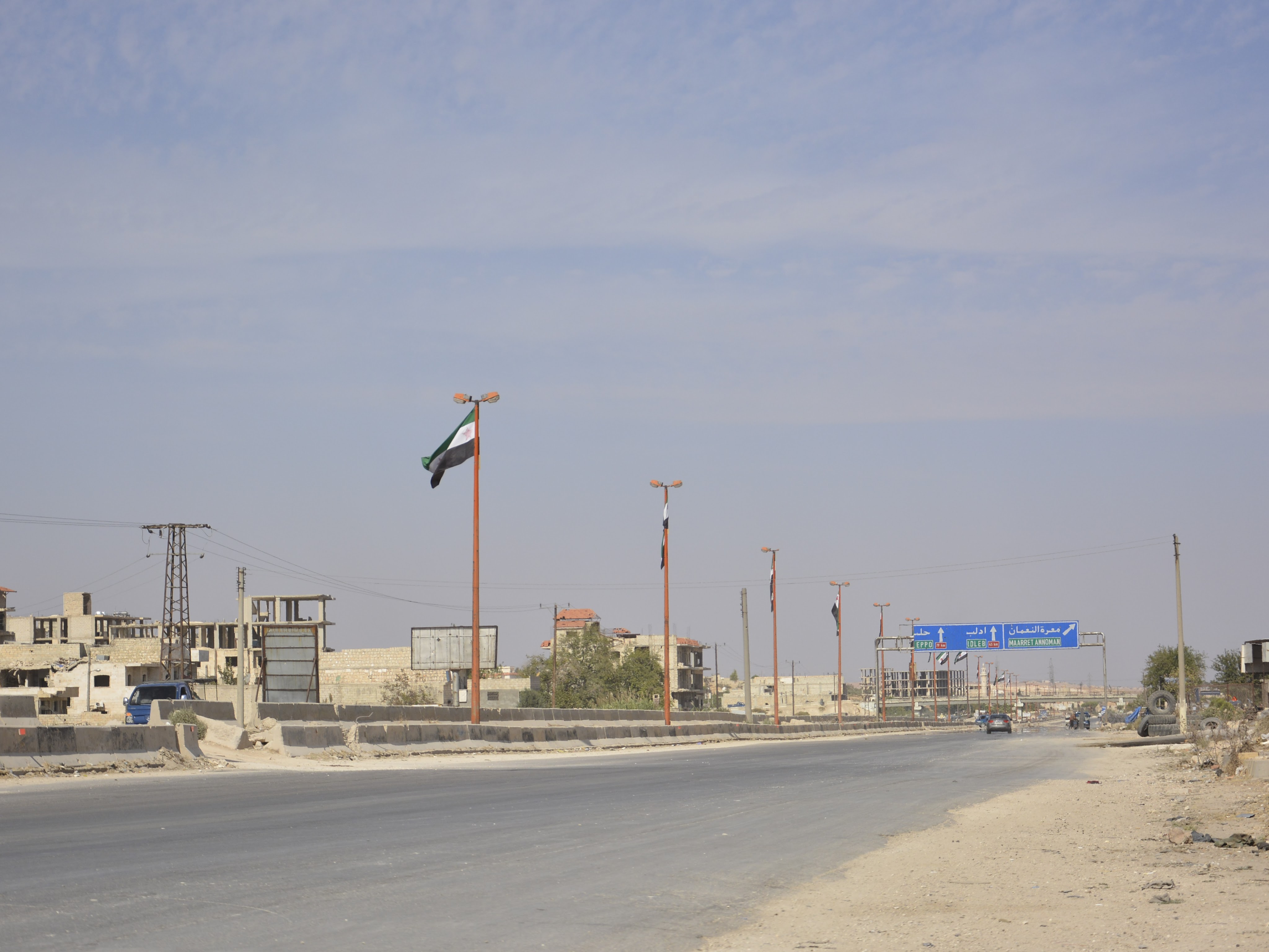
It looks like a simple road, but it is the international M5 highway that linking Syria with its northern neighbor Turkey and its southern neighbor Jordan, and it has branches from the east and west linking Syria with Lebanon and Iraq.
A decade ago before the Syrian war, M5 was a trade highway to transport goods by trucks and trailers between Europe and the Arab Gulf states.
It is the largest highway in Syria and most Syrians cross it because it is linking 6 major provinces including the capital and has branches to the rest of the Syrian provinces.
About a million civilians were displaced in early 2019 when the Syrian-Russian coalition launched a large-scale offensive to regain control of the northern parts of the highway in Idlib and Aleppo provinces.
M5 is the road that get you in Idlib.
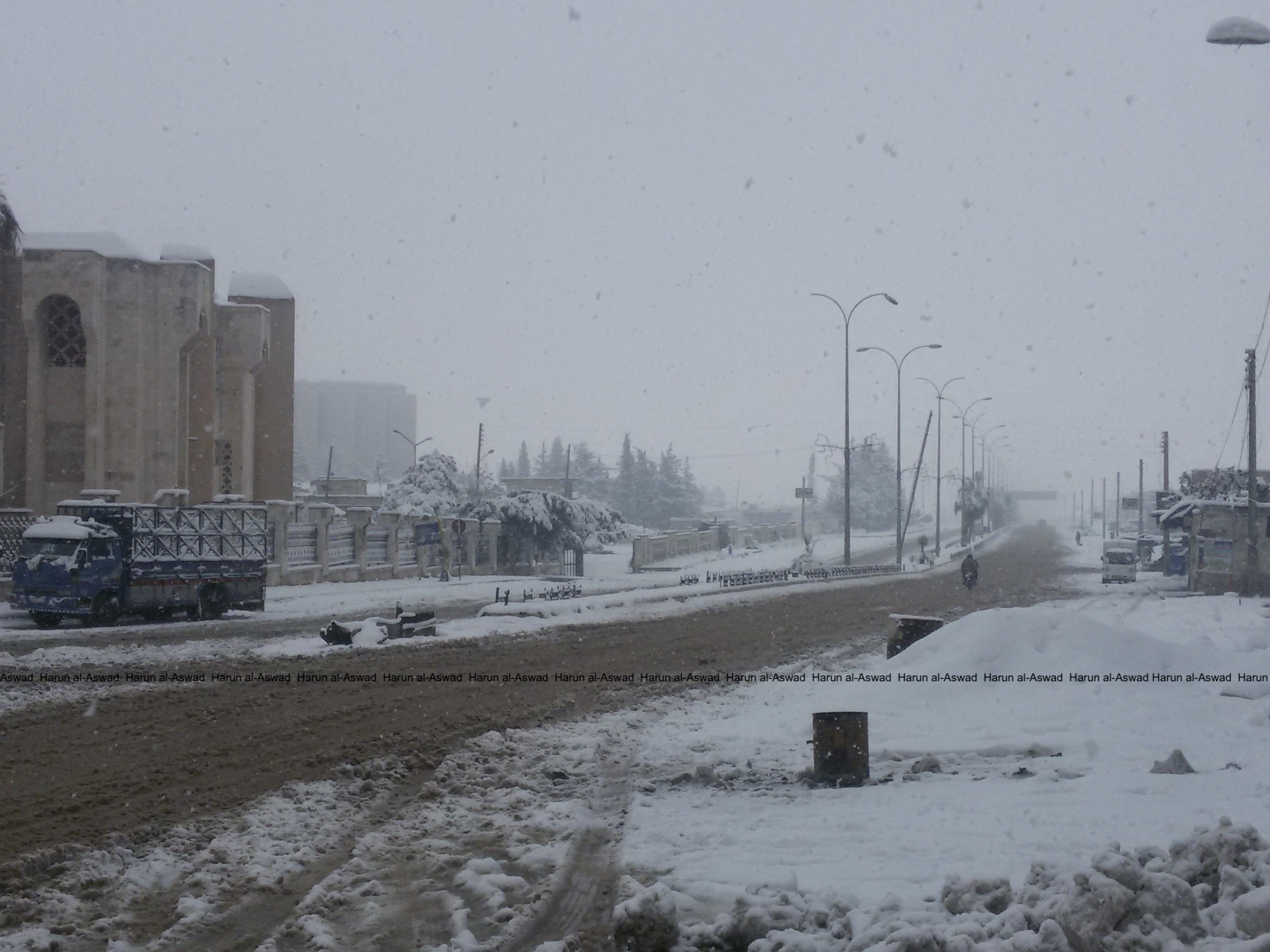
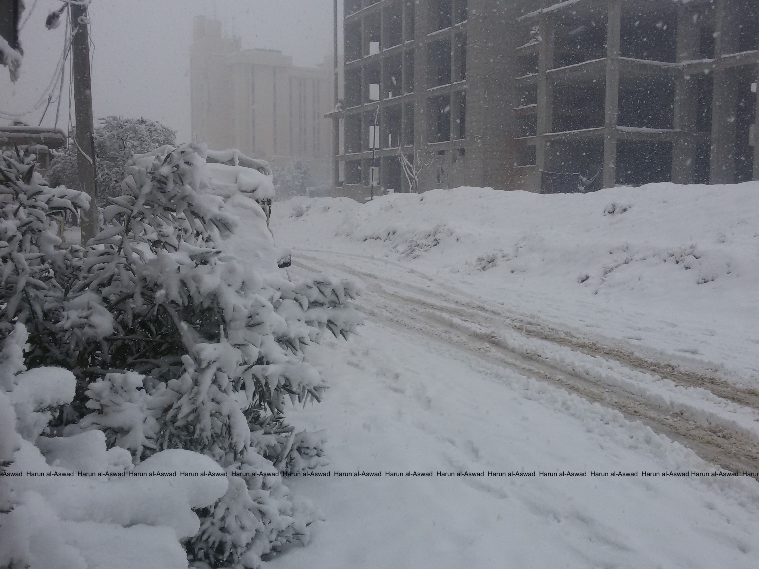
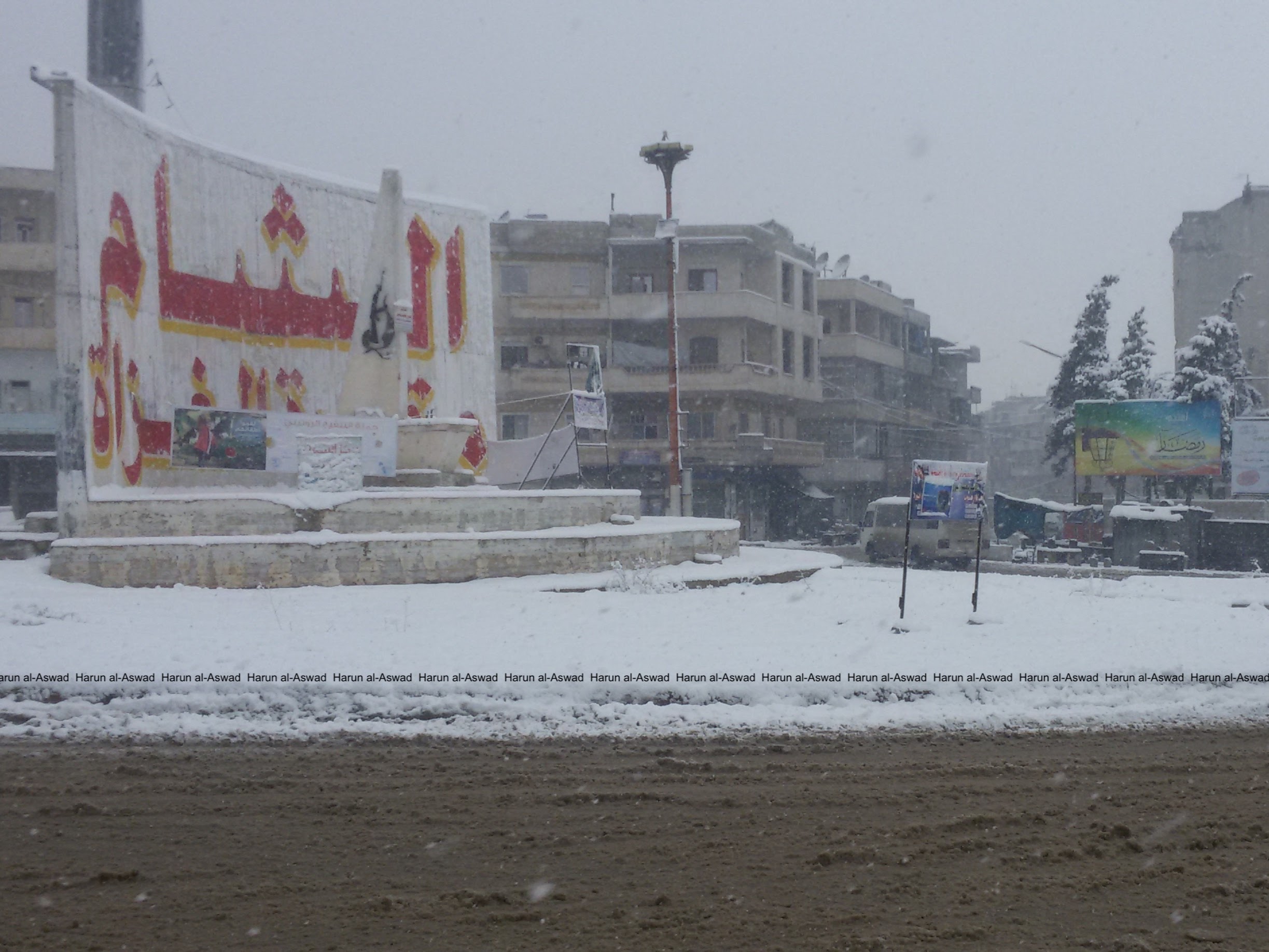
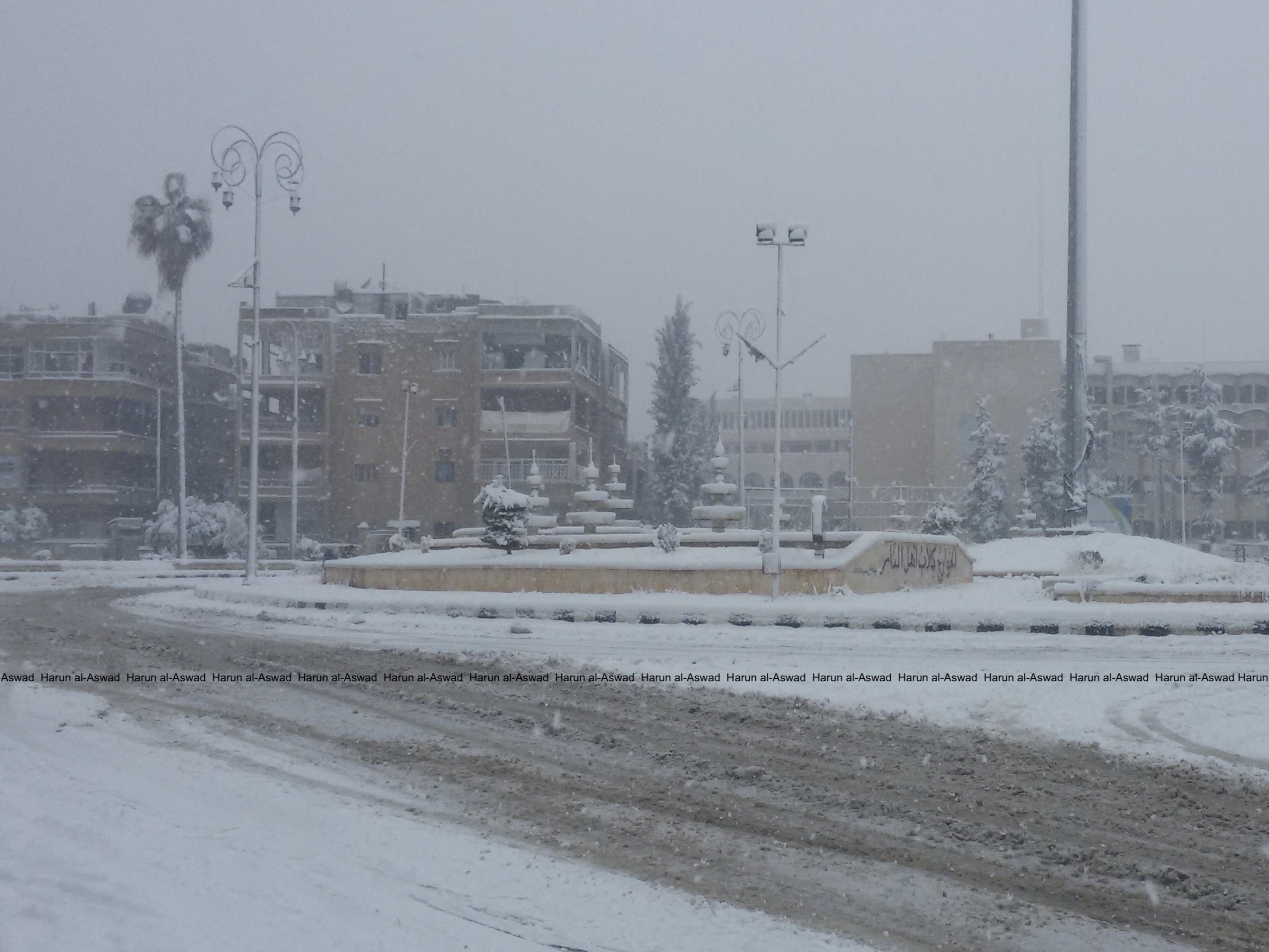


In Idlib it usually doesn’t snow like that but it did about a year and a half after the rebels took control of the city in 2015.
Photos taken with a Samsung S3 phone, Harun al-Aswad’s camera was destroyed in a Syrian air attack late 2016. (All photos were taken in 21 December 2016)
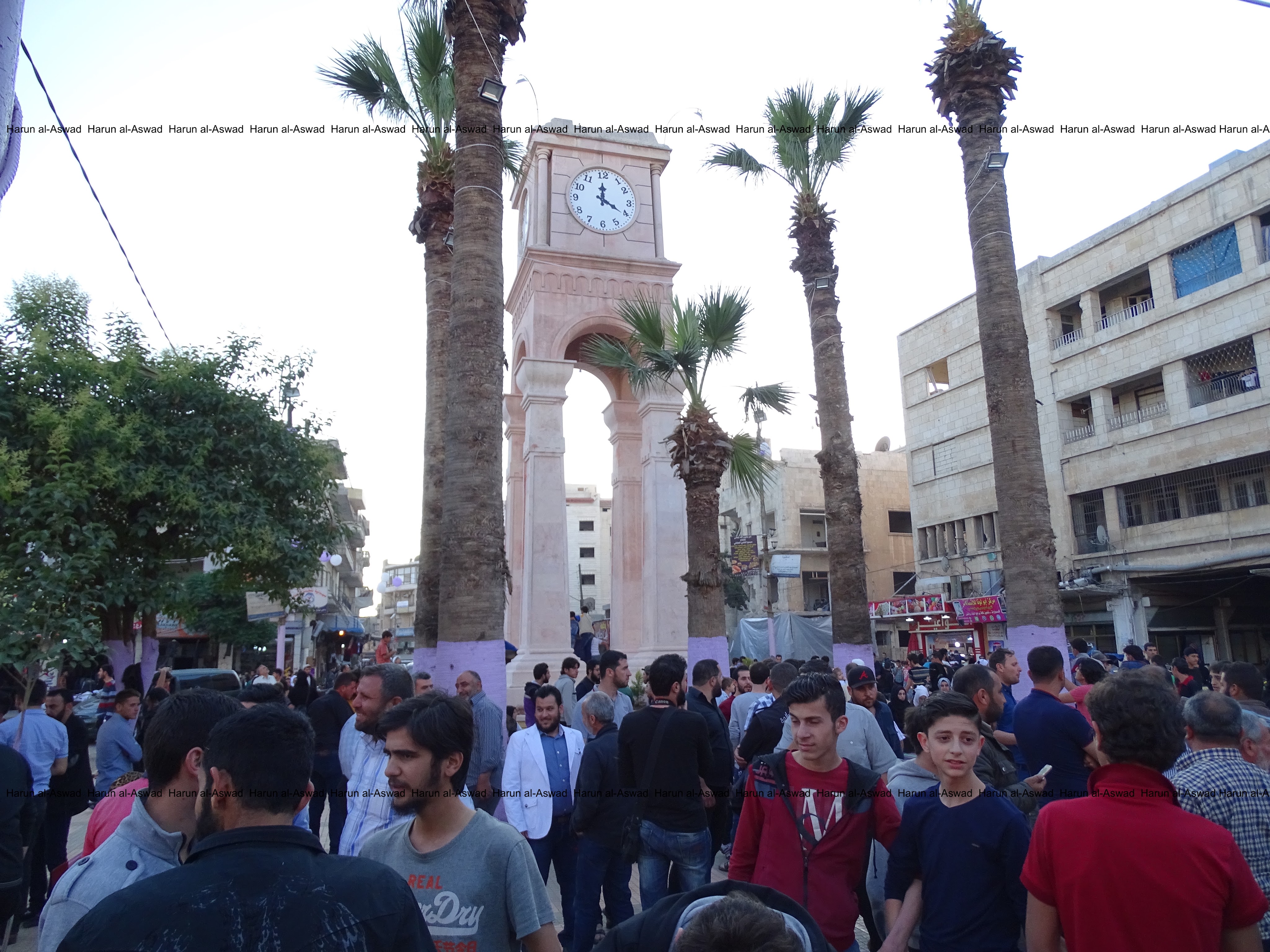
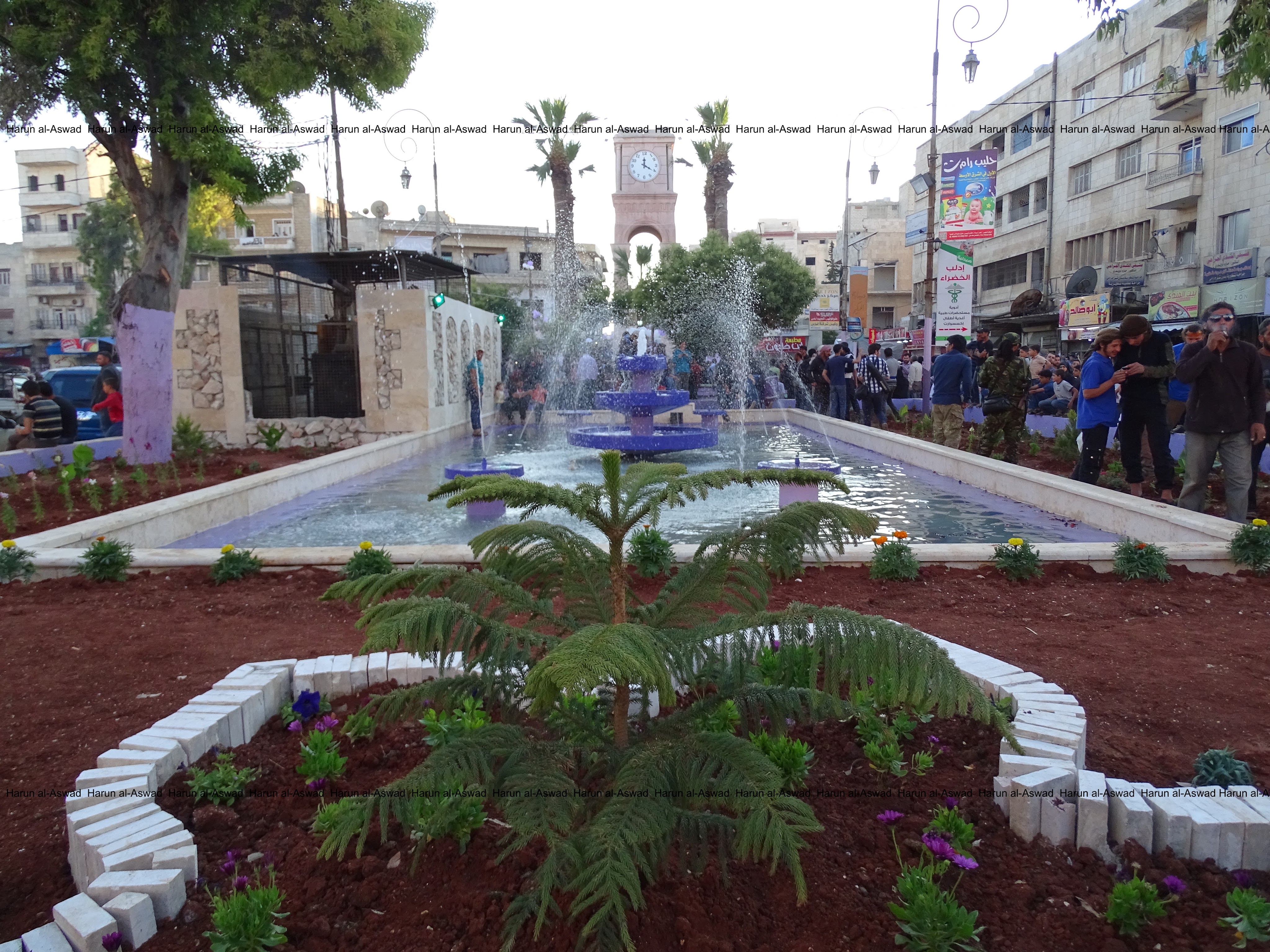
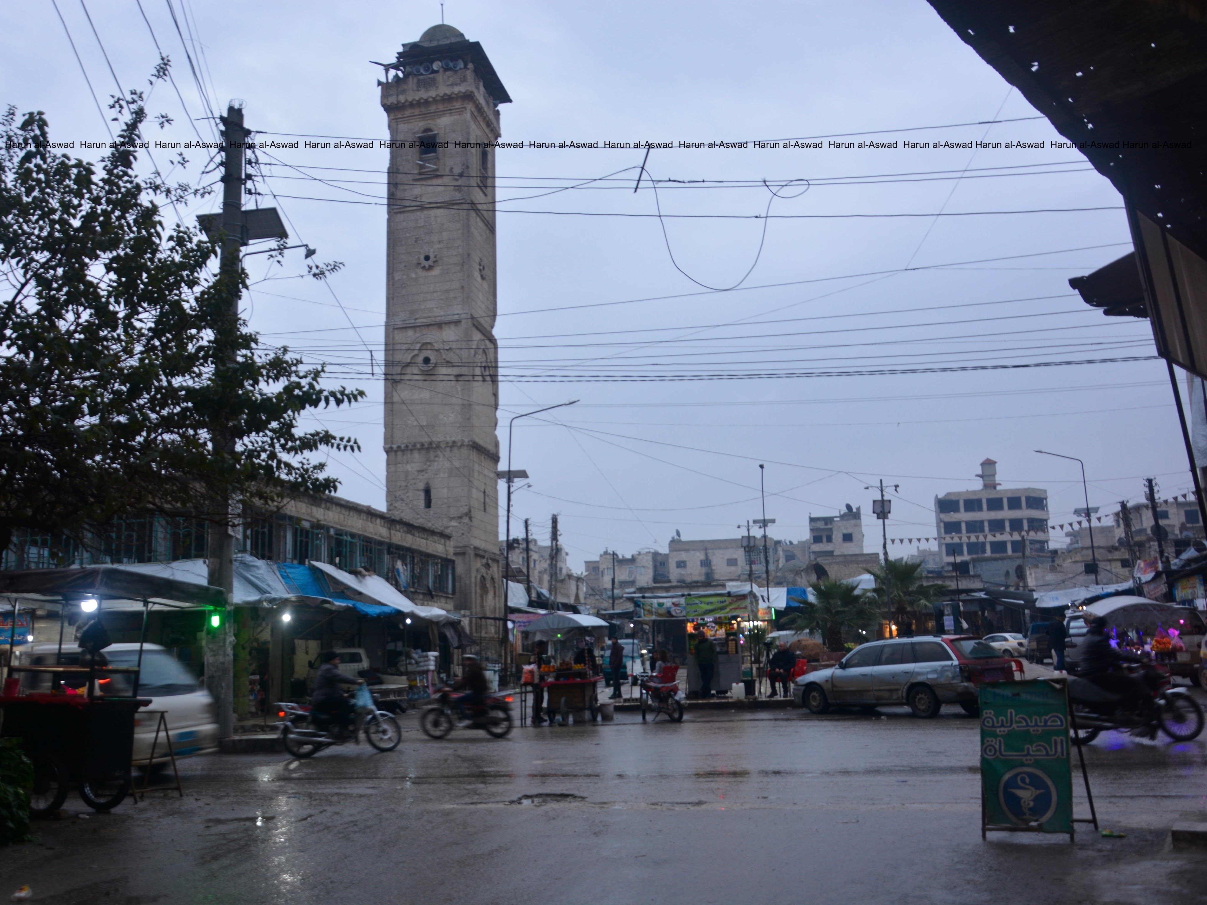
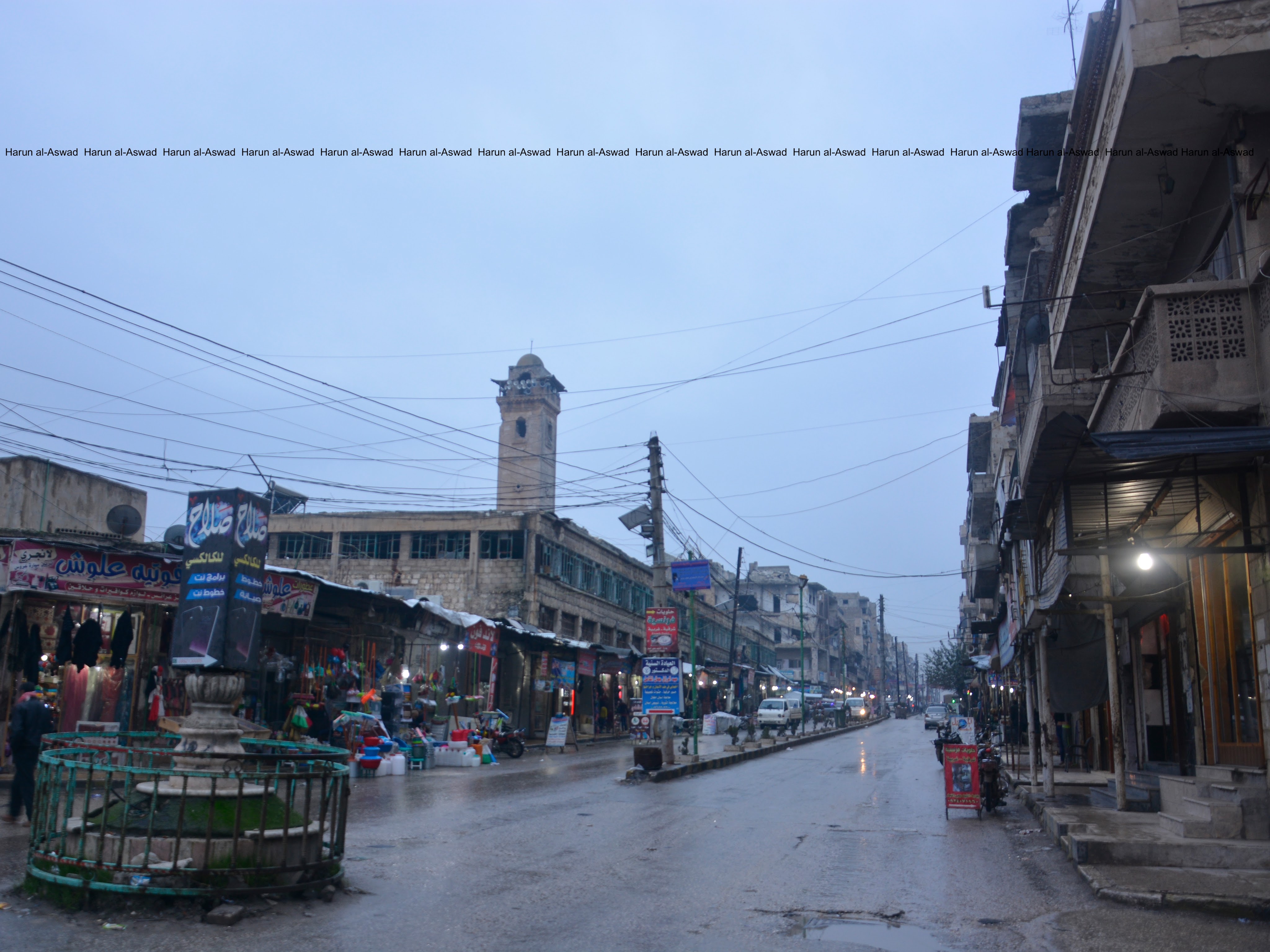
This is the main square in Idlib city after being restored in 24 May 2017, by the Idlib City Council, the city’s first democratically elected council in five decades.
The council was dissolved within months after its offices were taken over by the former Syrian al-Qaeda offshoot, Tahrir al-Sham (HTS).
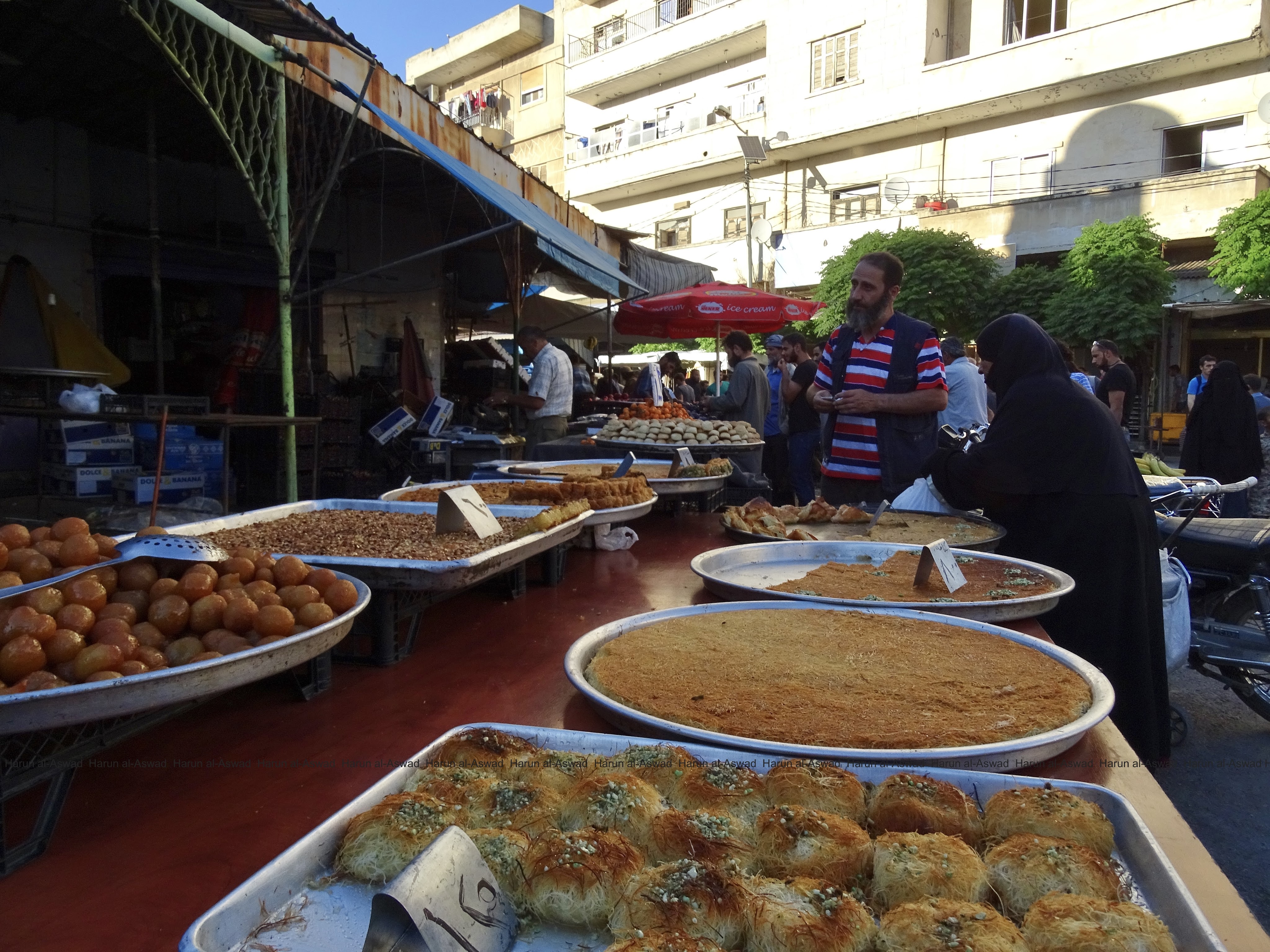
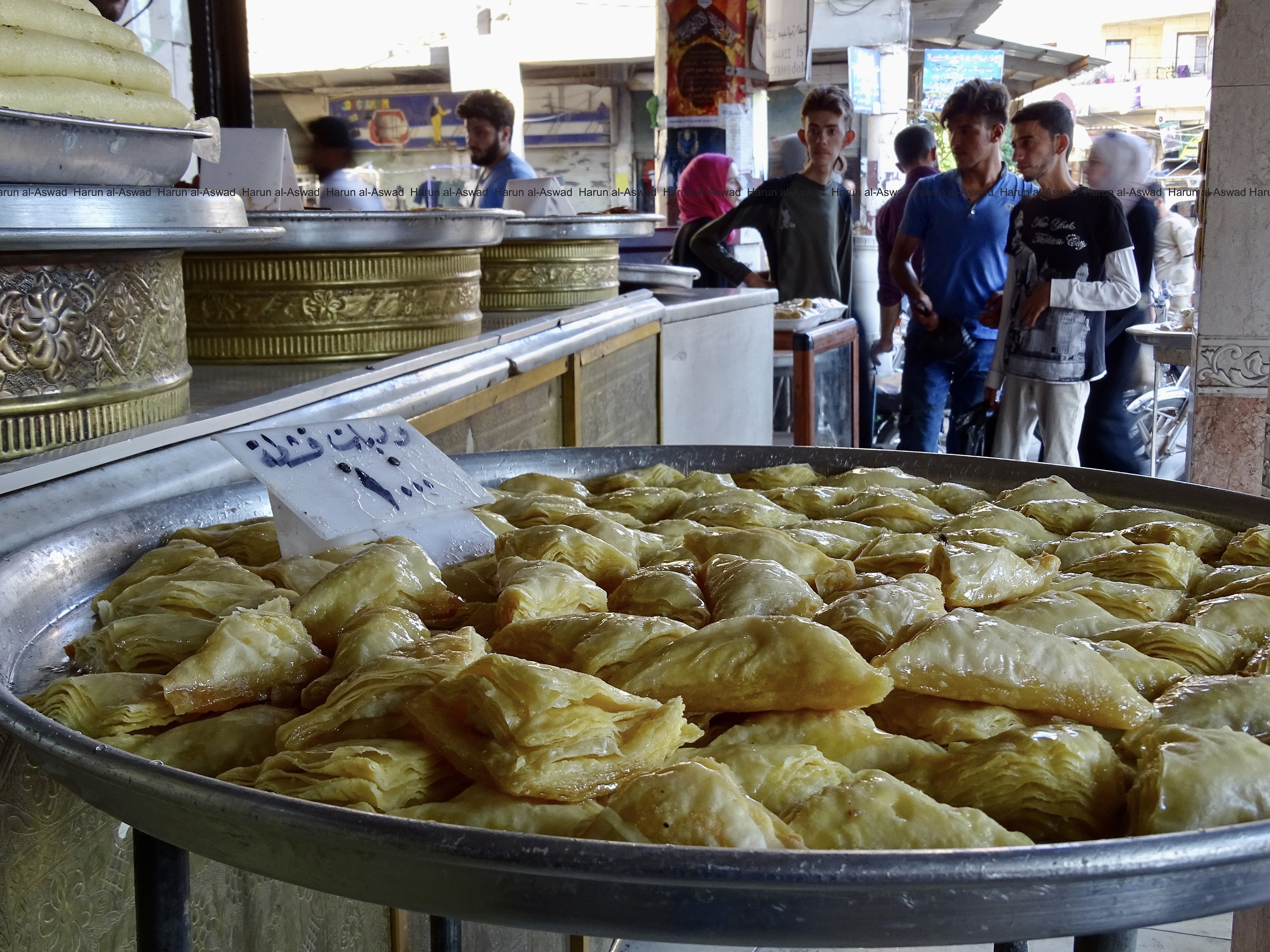
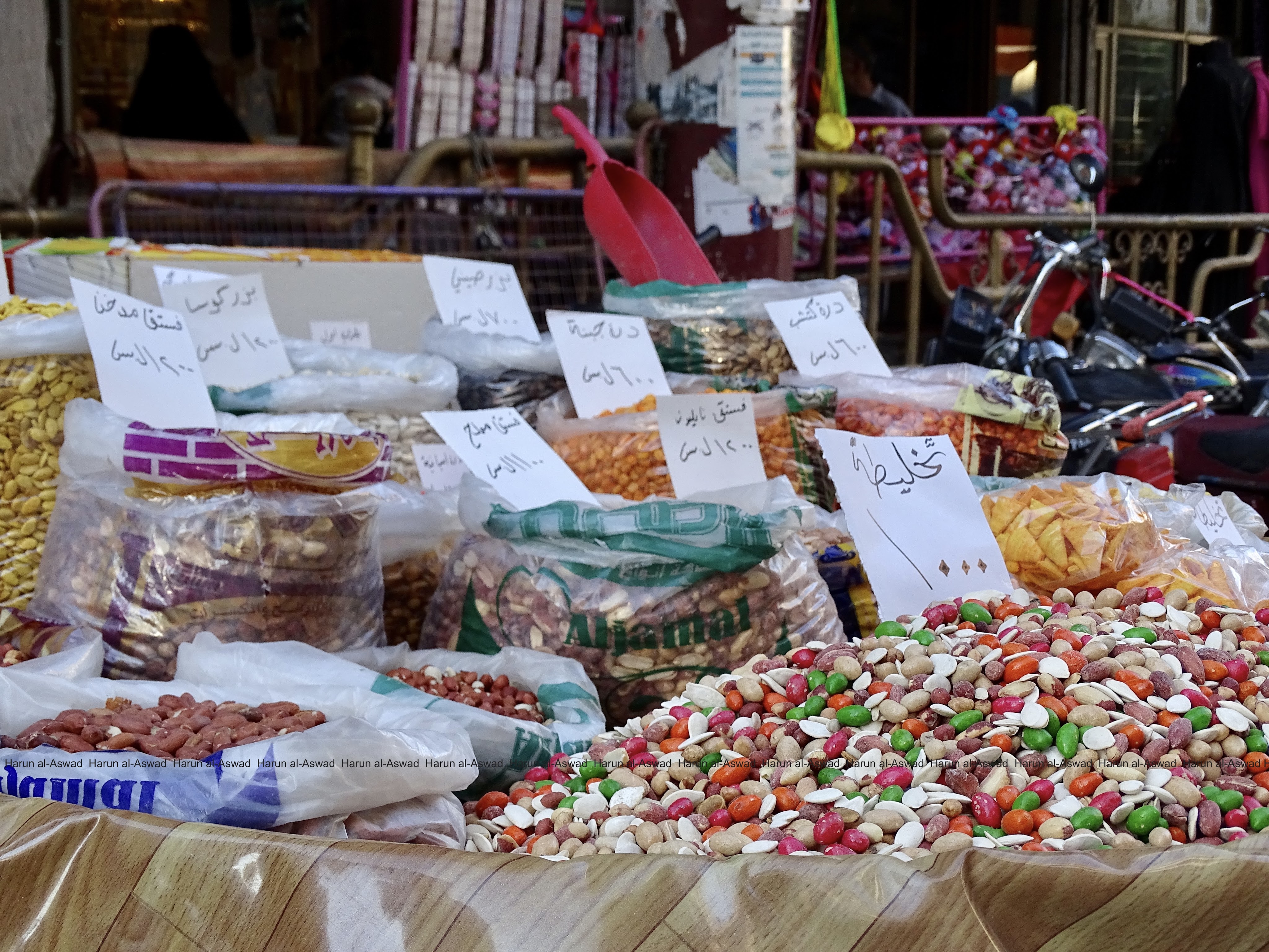
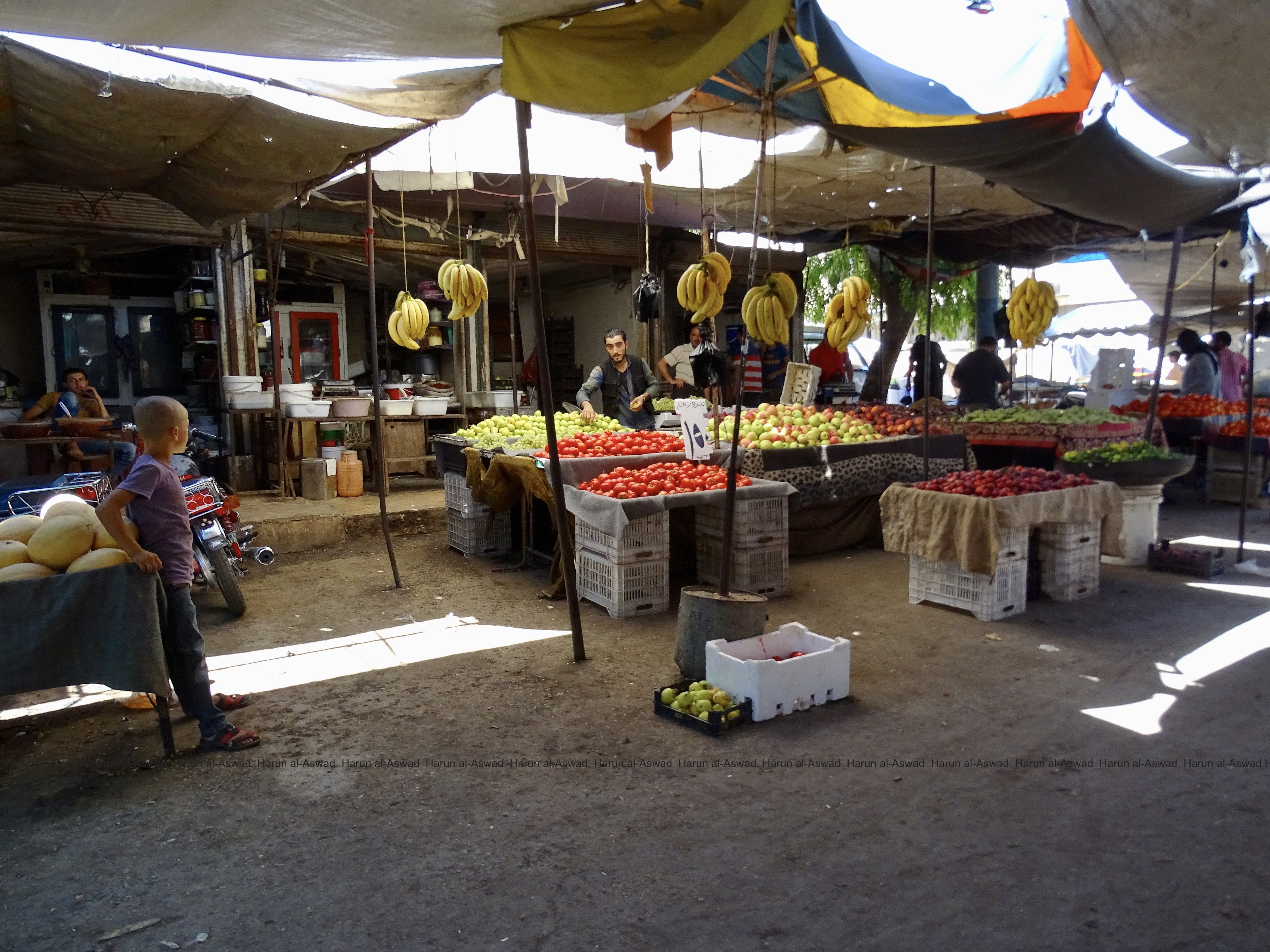
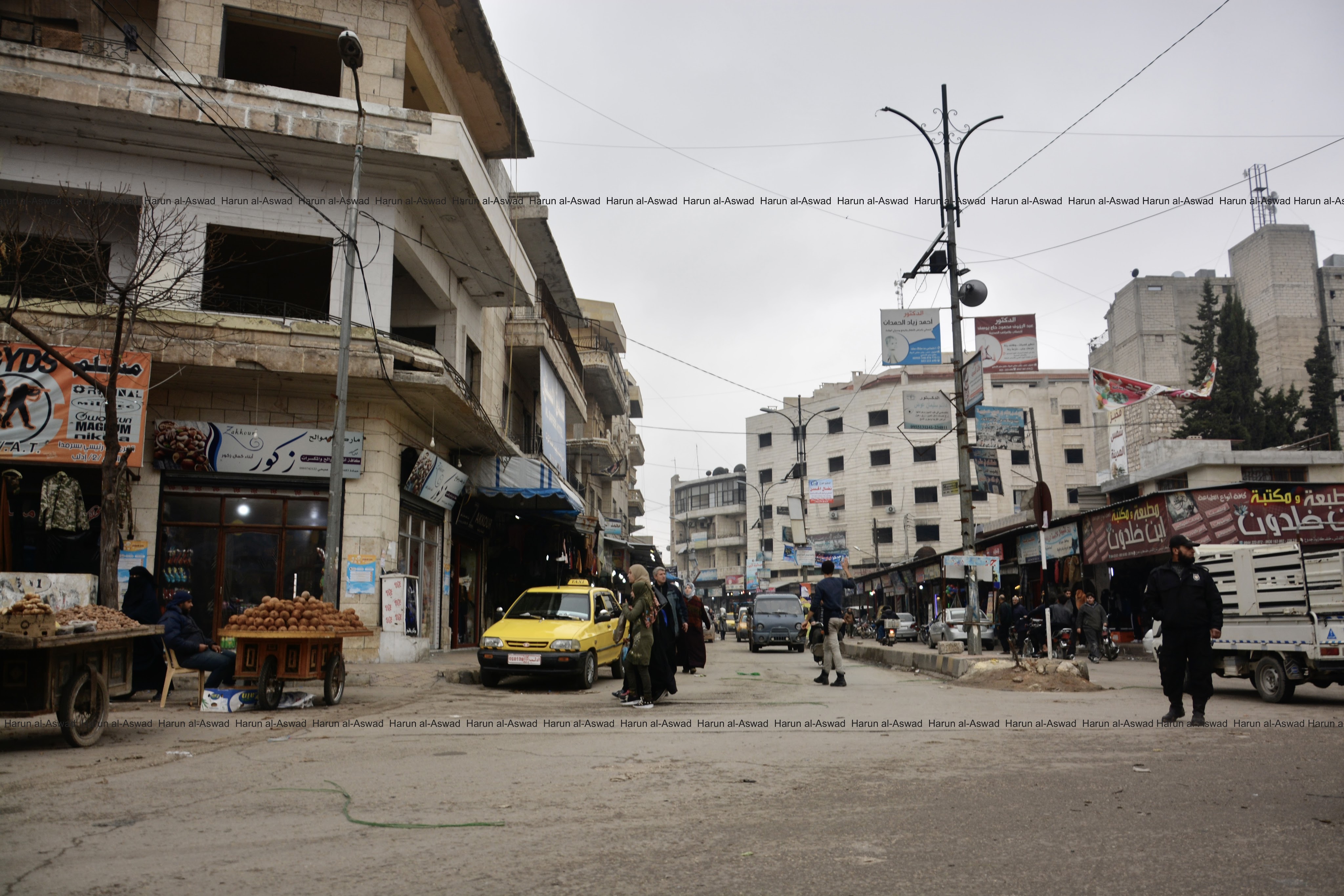
The city center is always decorated with street vendors. Store owners used to put their goods outside to attract the attention of consumers photos date in 24 June 2017
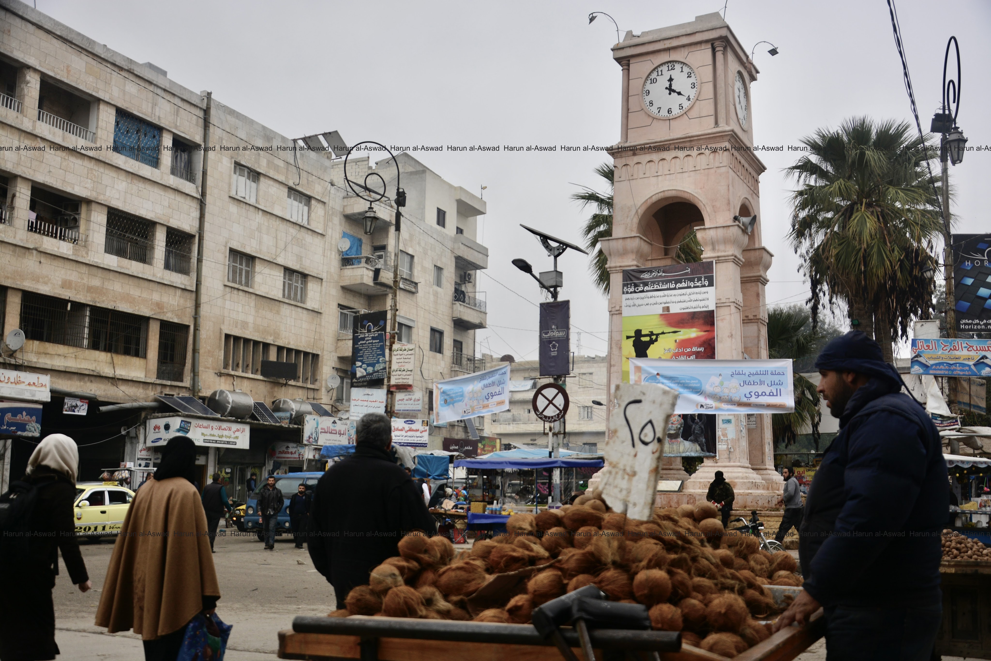
Other photos in Idlib square on 28 November 2018
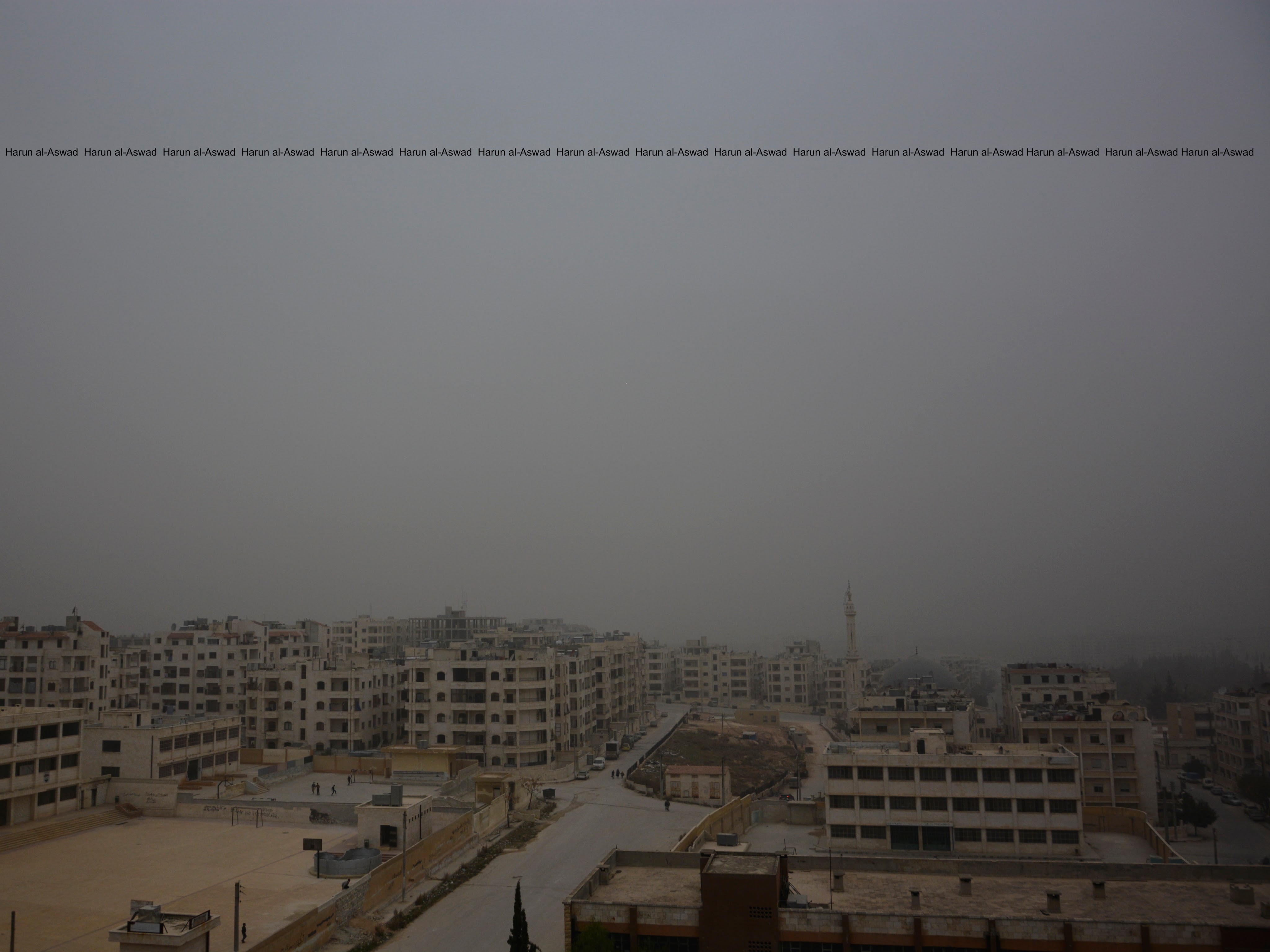
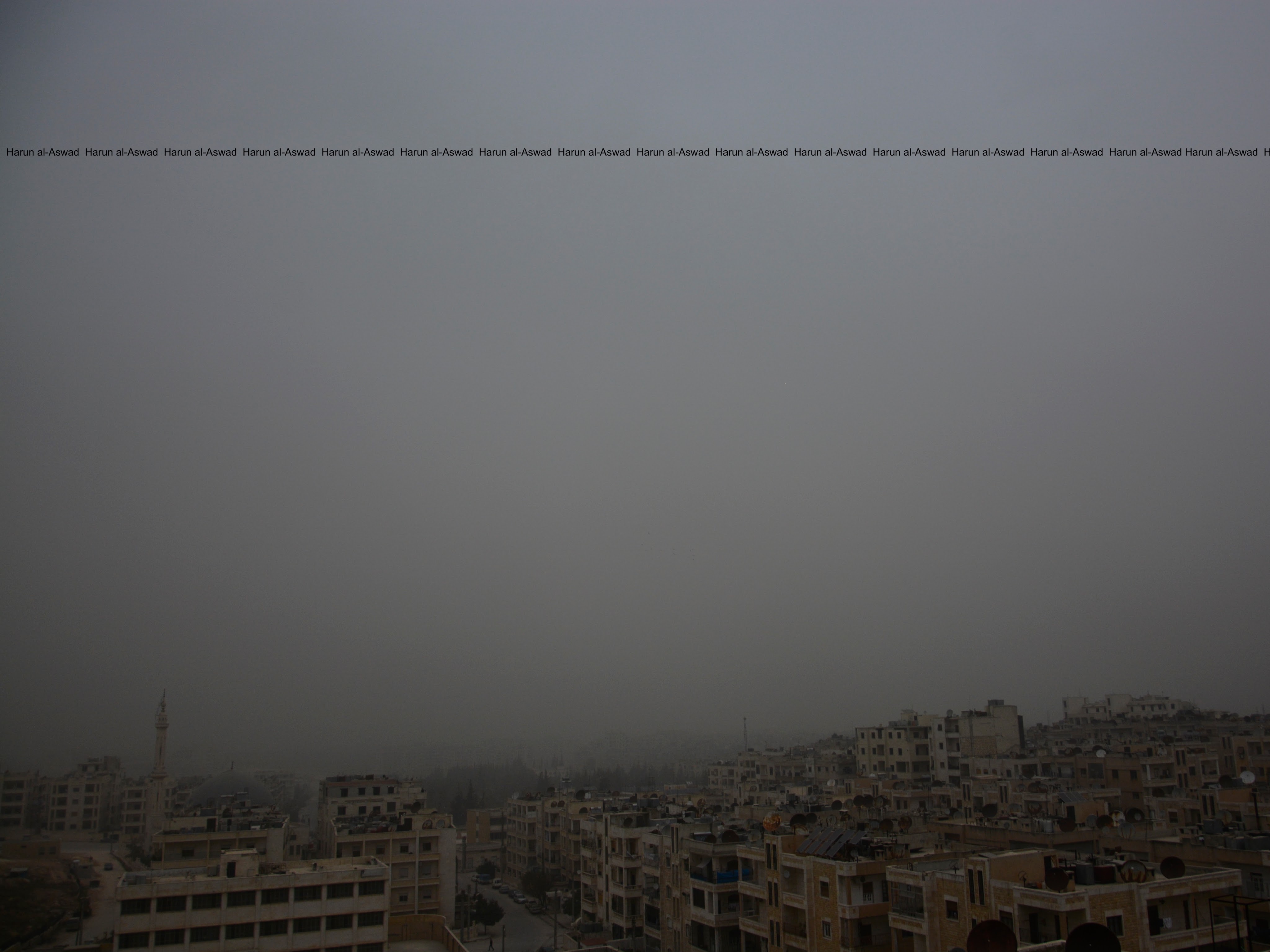
In 22 December 2017 a rare sandstorm hit Idlib for the first time in many decades.
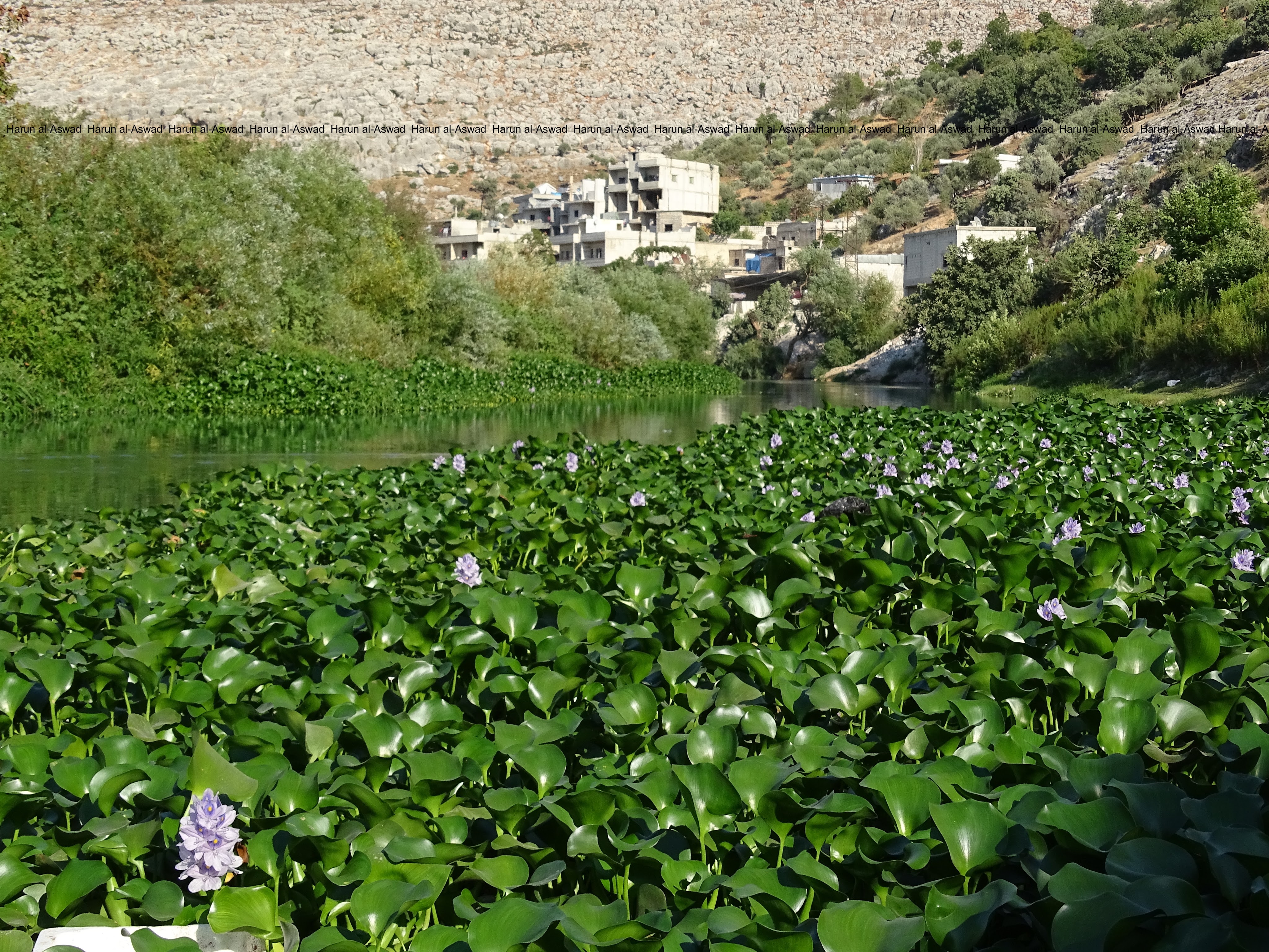
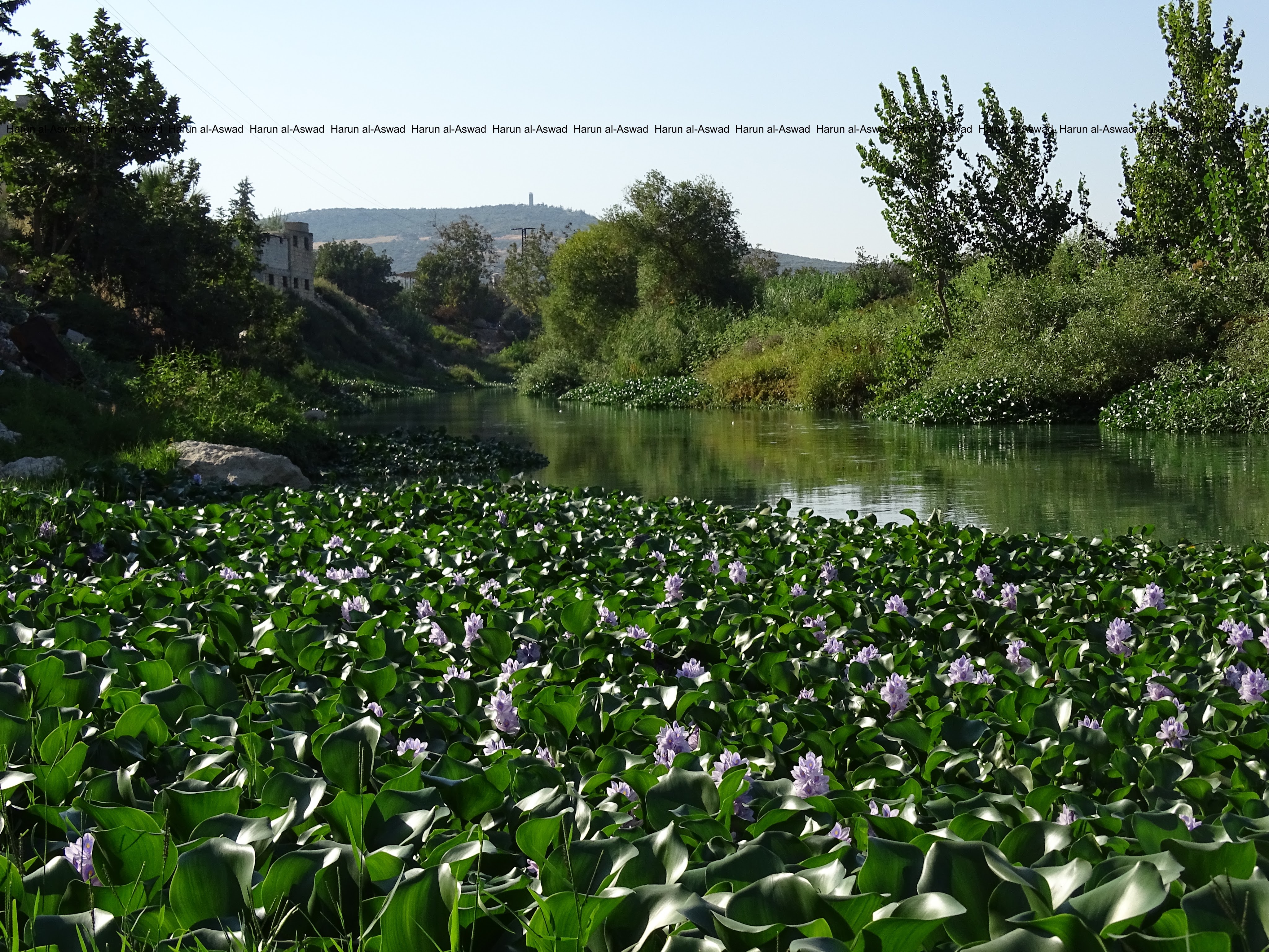
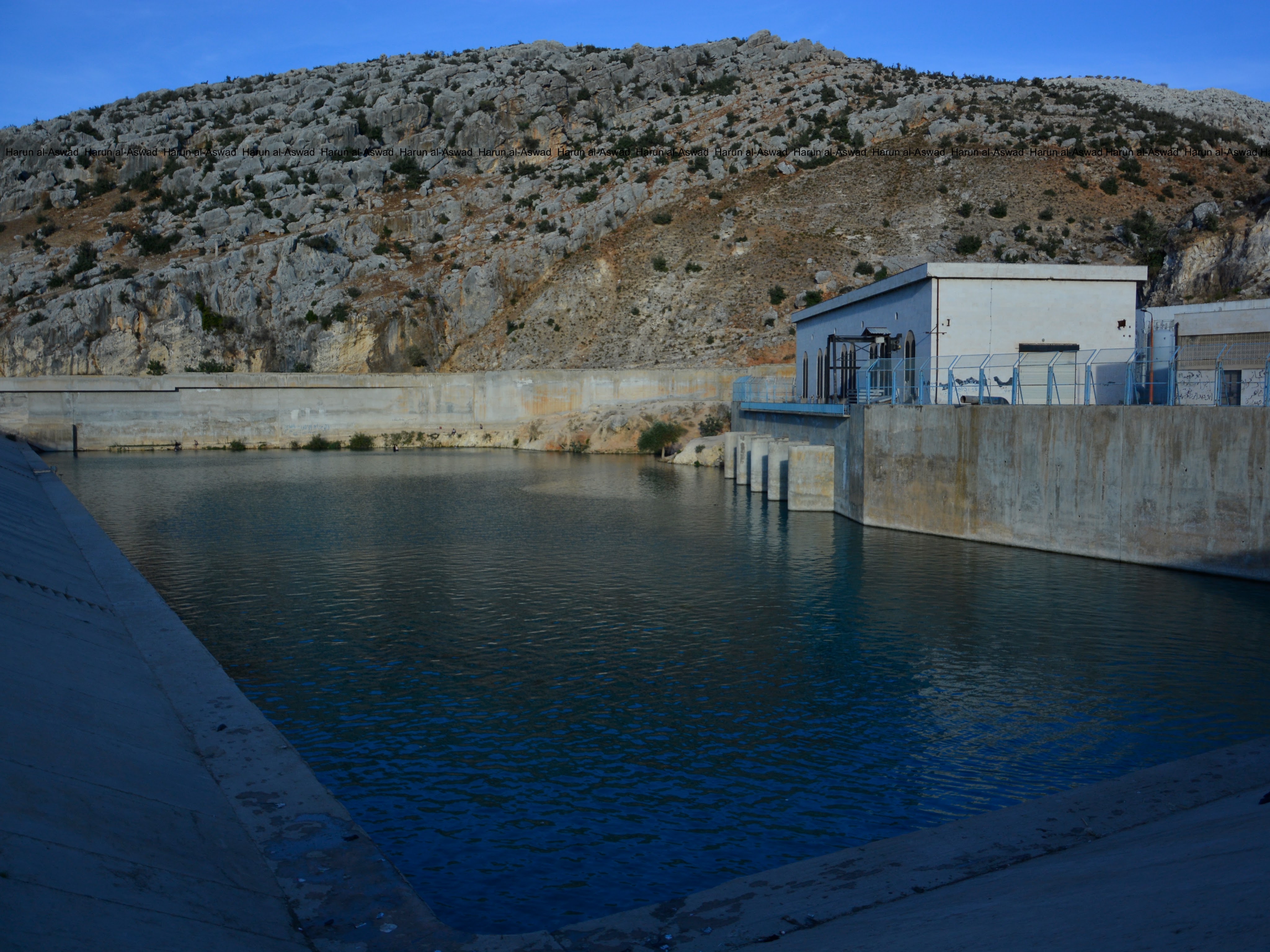
The al-Asi (Orontes in English) River crosses from the west of Idlib province. It was named al-Asi because it flows opposite the rest of the rivers in the region from south to north.
The river begins in Lebanon to the Syrian provinces of Homs, Hama, and Idlib, and empties into the occupied Iskenderun district in Turkey.
The river is mainly used to irrigate farmland and fish in Idlib Province. Its waters were greatly affected during a decade war in Syria. The plant shown in the picture looks beautiful, but it consumes very large amounts of river water and leads to a decrease in its levels. (Photos in 1 September 2017)
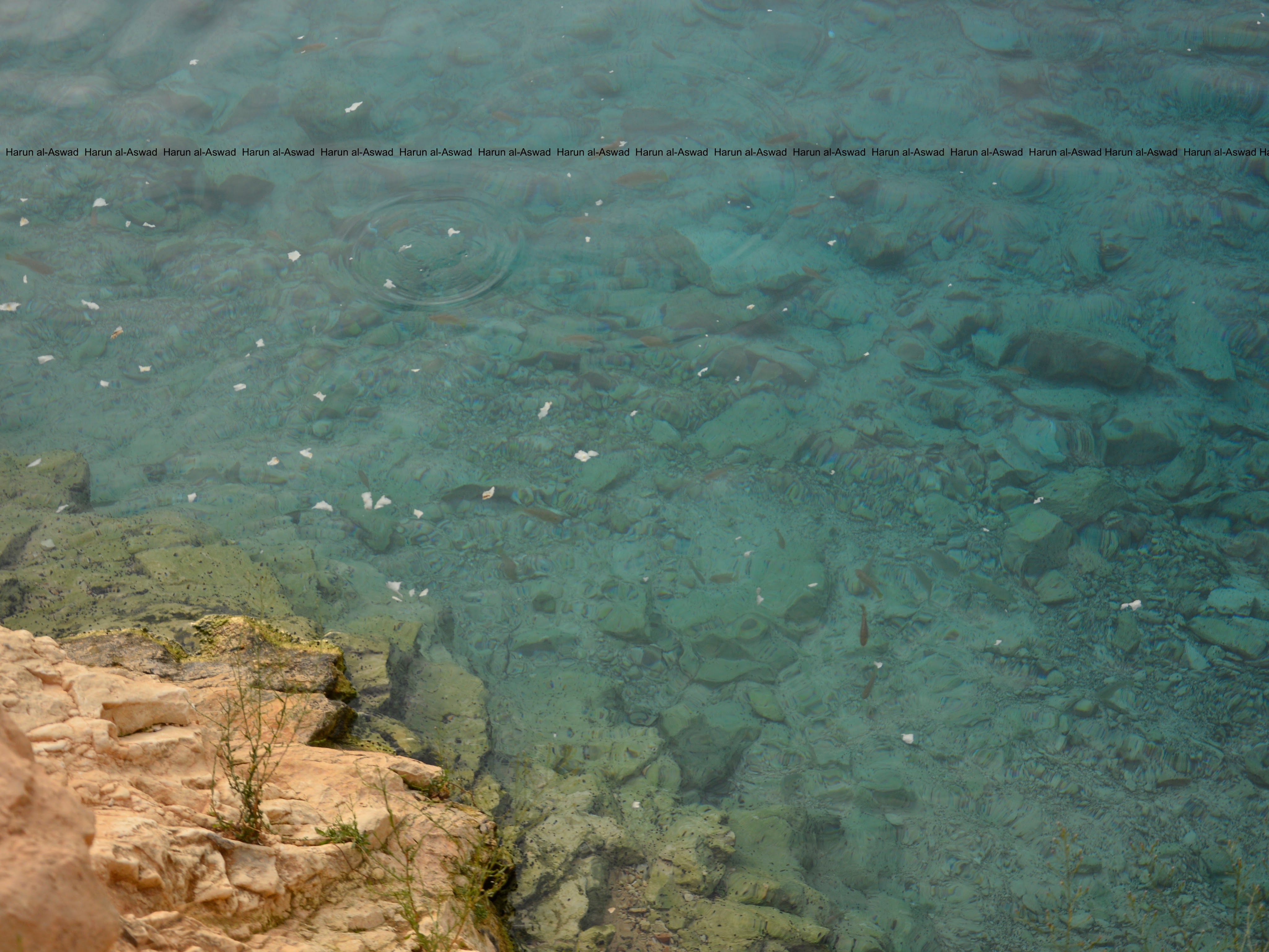
Ain al-Zarqa spring was the main source of water in Idlib province, but local corruption led to the breakdown and theft of water pumps and filters, and thus the water station became operational several days a week after it used to operate 24 hours a day. The lake in which the spring water gathered turned into a swimming pool.
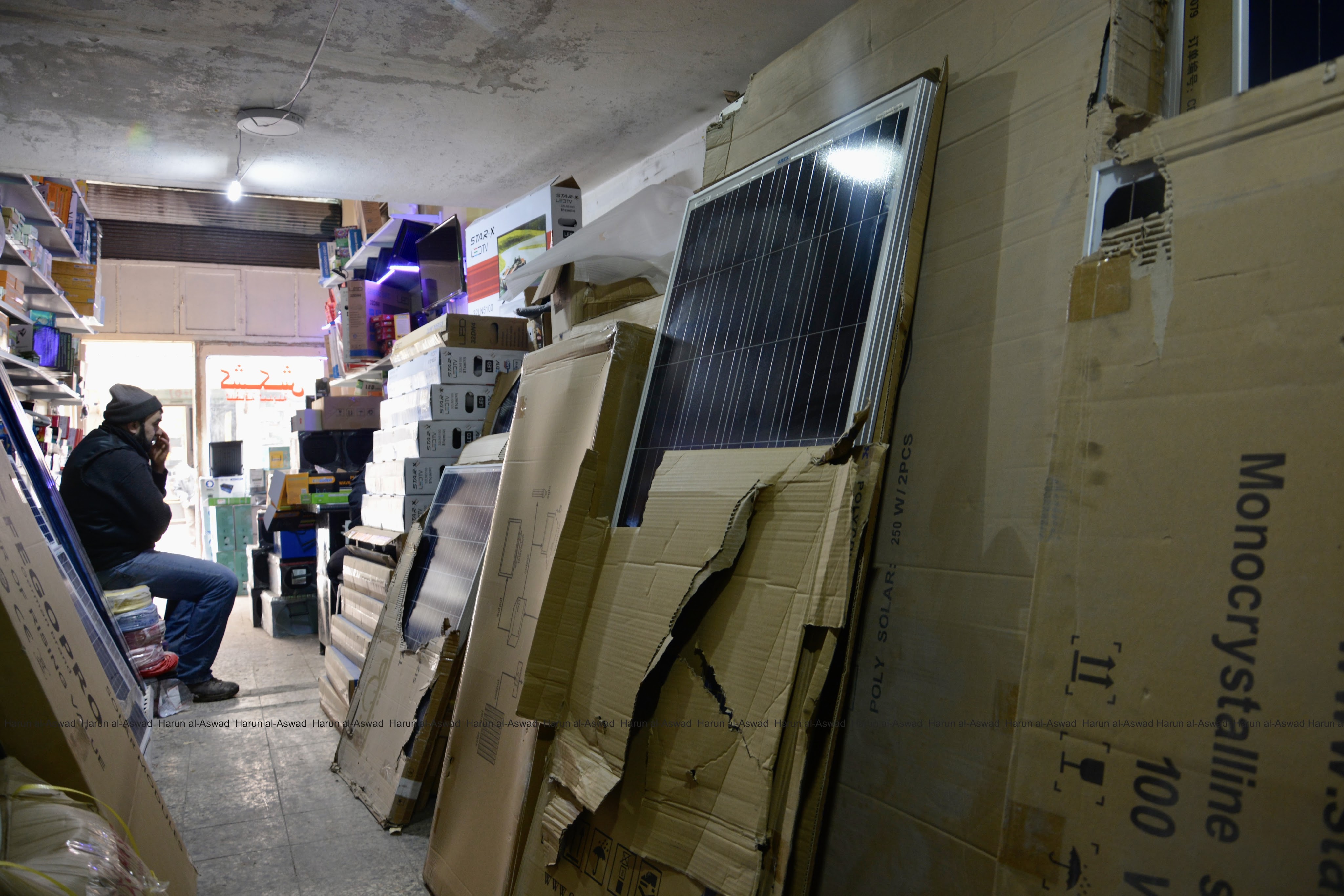
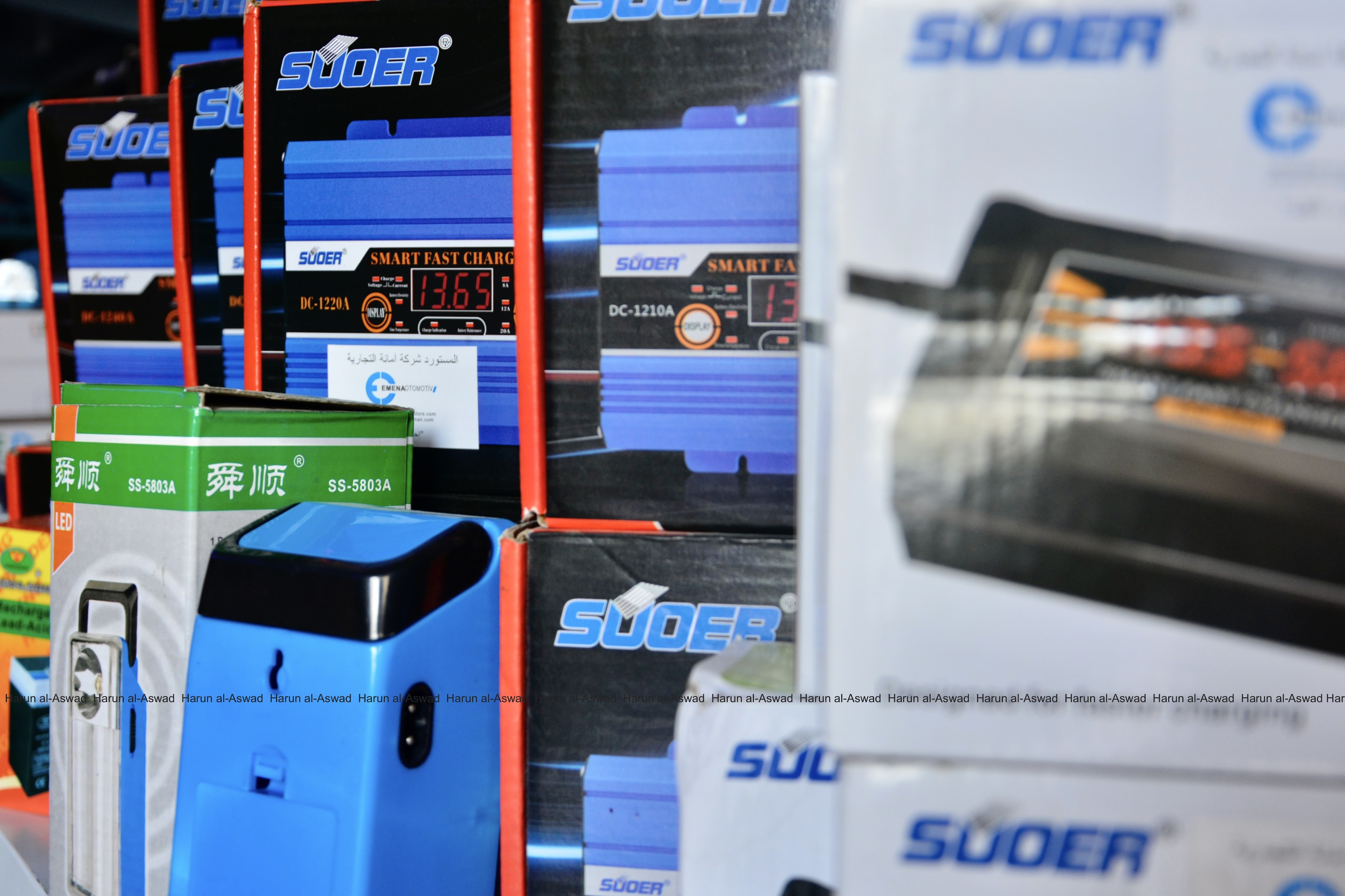
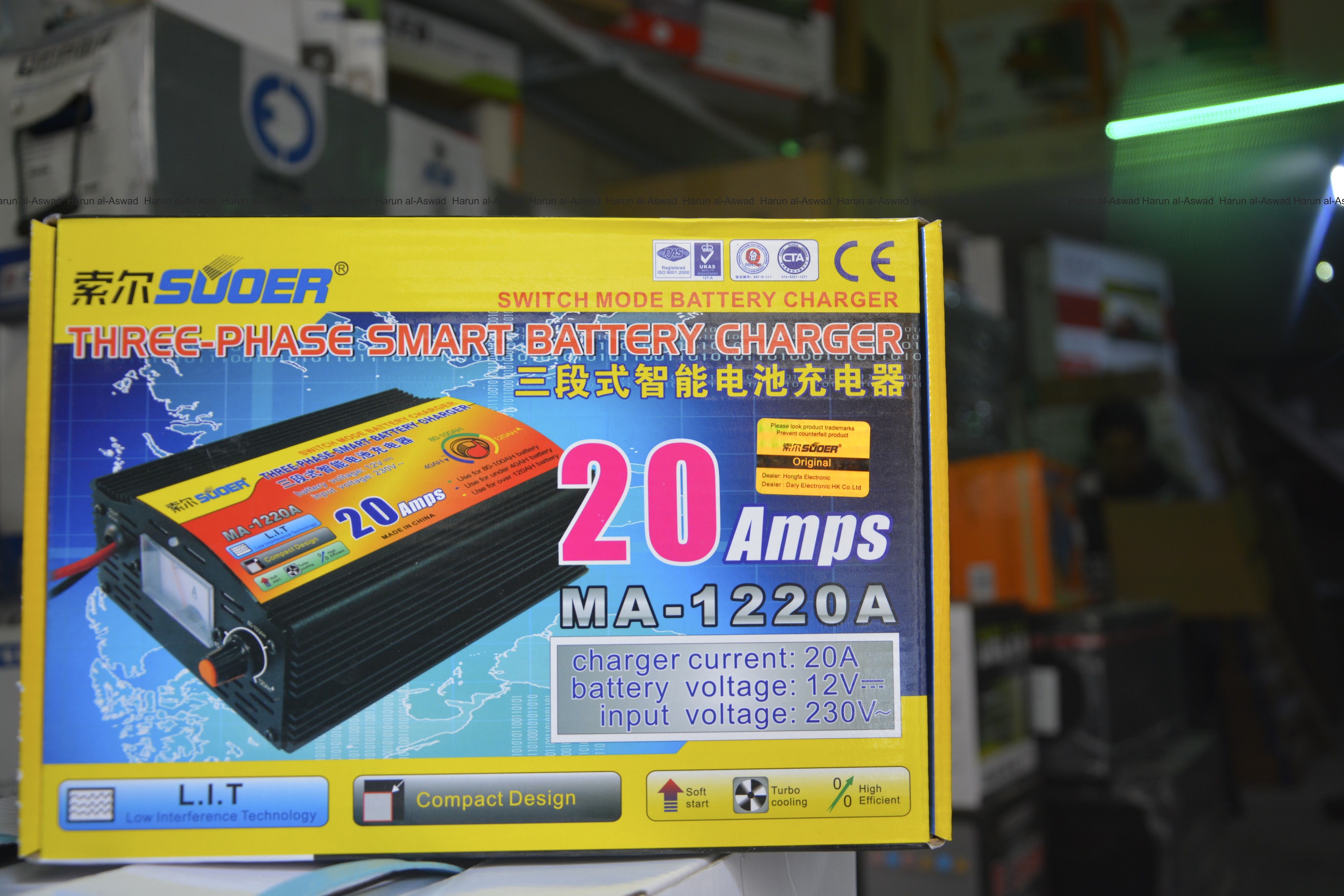
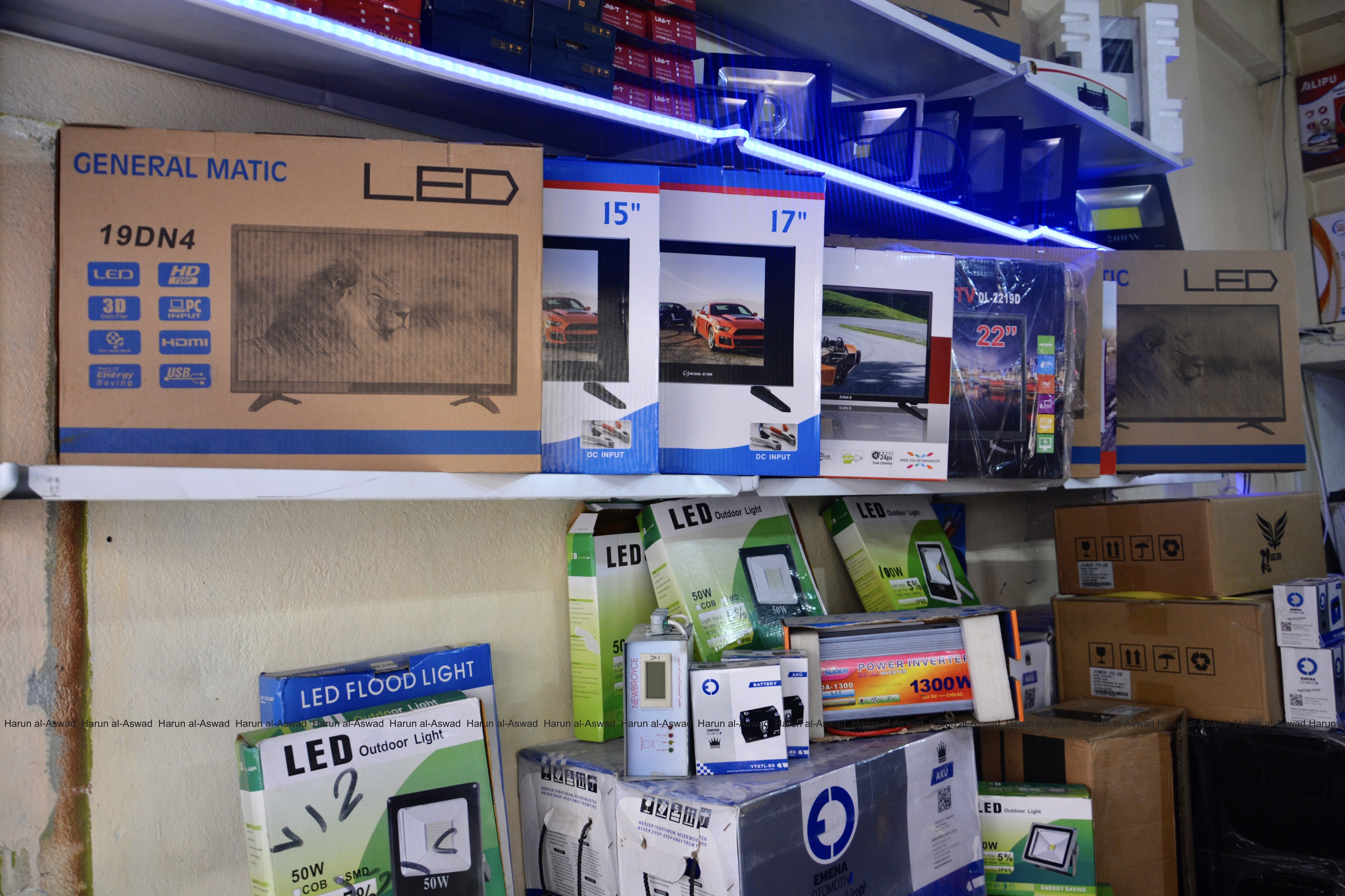
With the lack of electricity, the residents used to use 12-volt batteries for lighting, televisions and phone chargers.
These batteries are charged by solar energy or special chargers.
In south of Idlib province, the city of Maarat al-Numan, on the M5 international highway, is one of the most was a prominent revolutionary stronghold during the war, and organised large demonstrations against the Syrian president since the beginning of the Syrian revolution in 2011, as well as demonstrations against the Islamic factions that seized the city from the rebels before 2019.
Syrian-Russian coalition sized the city in 2019.
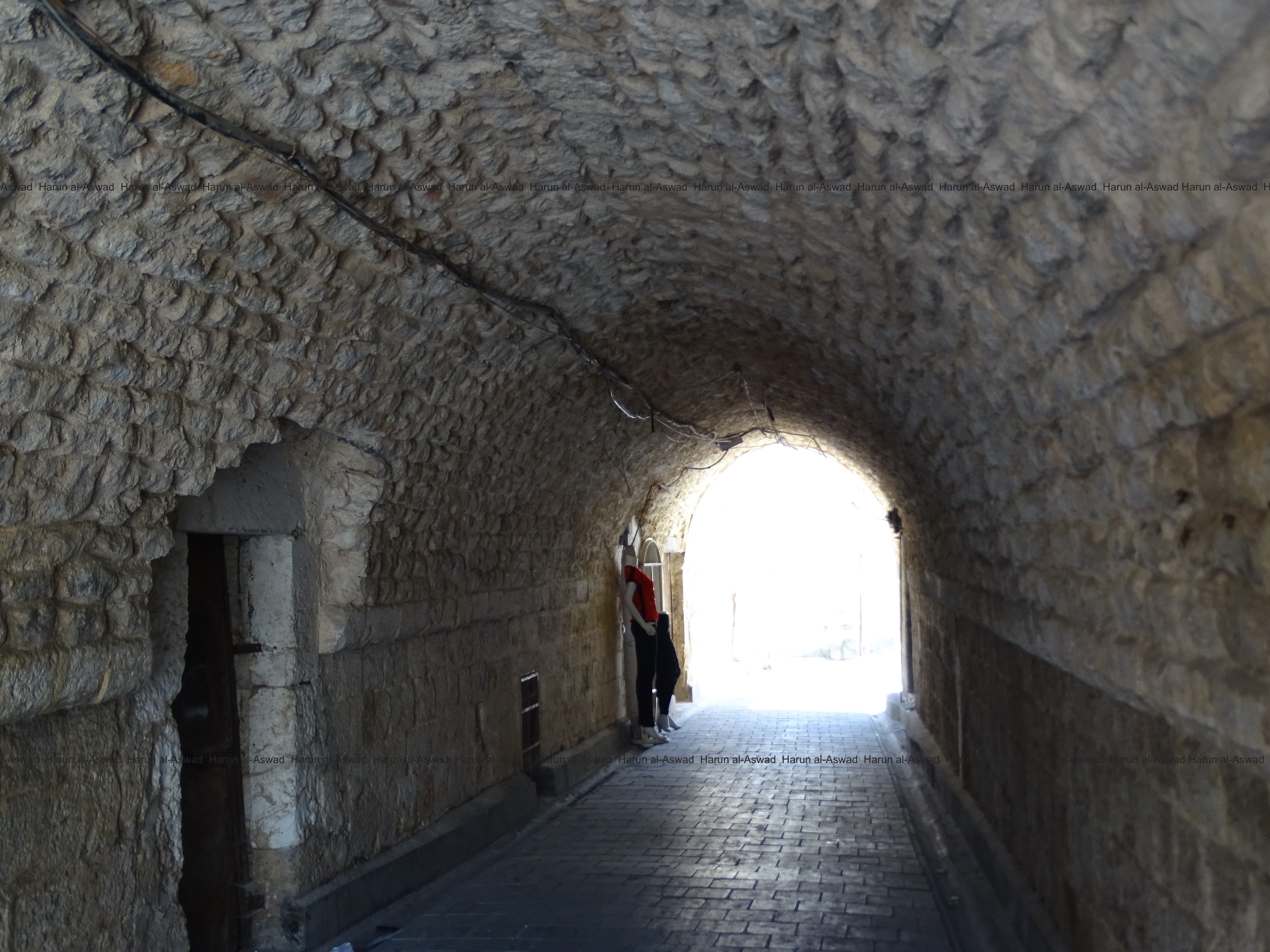
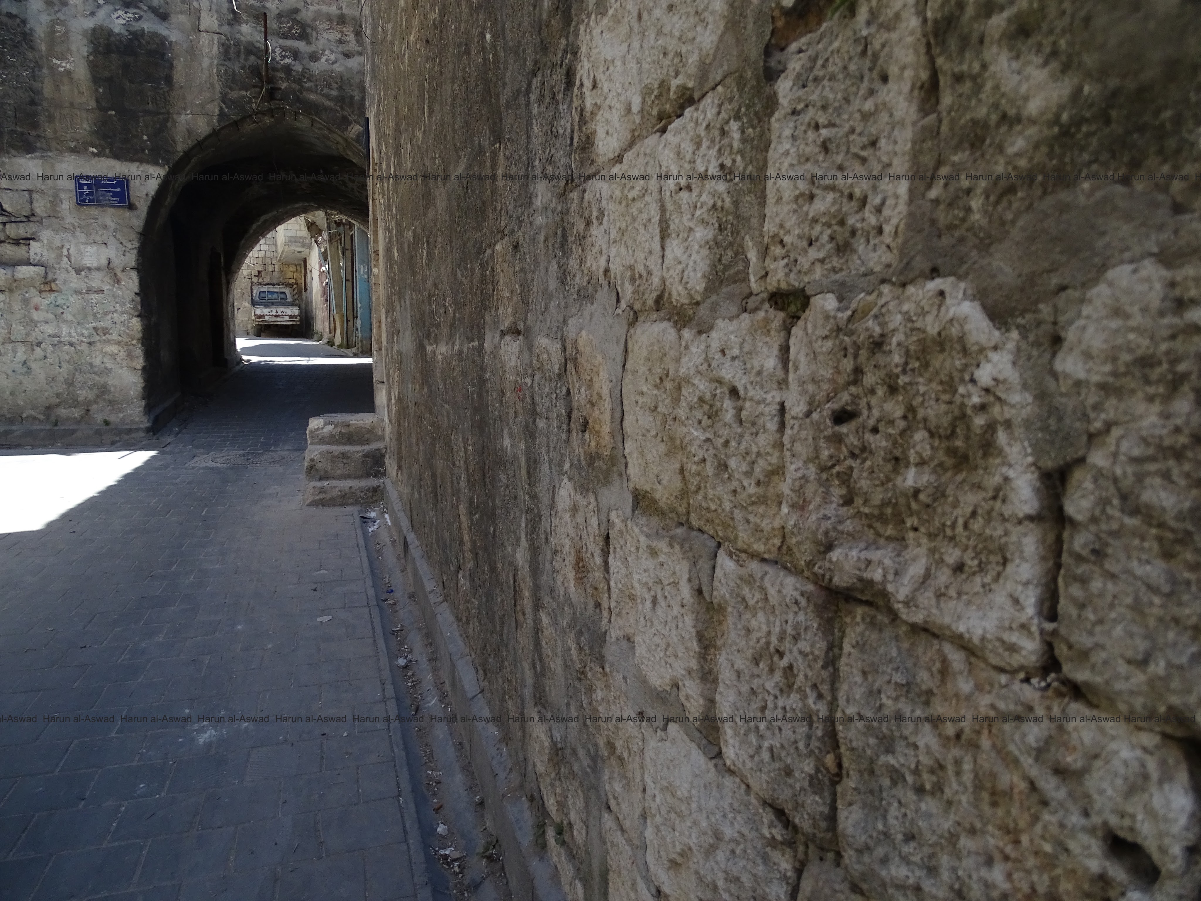
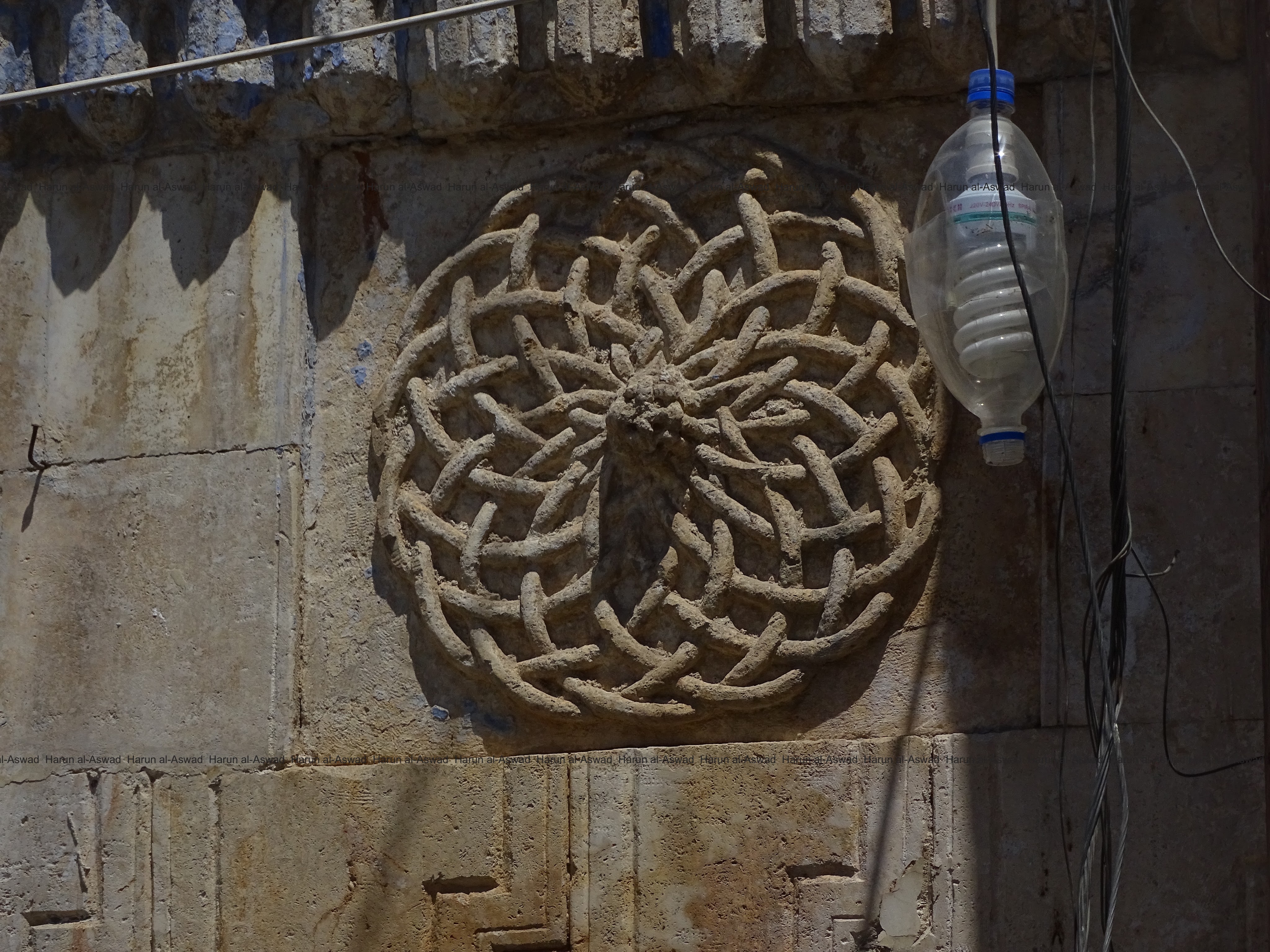
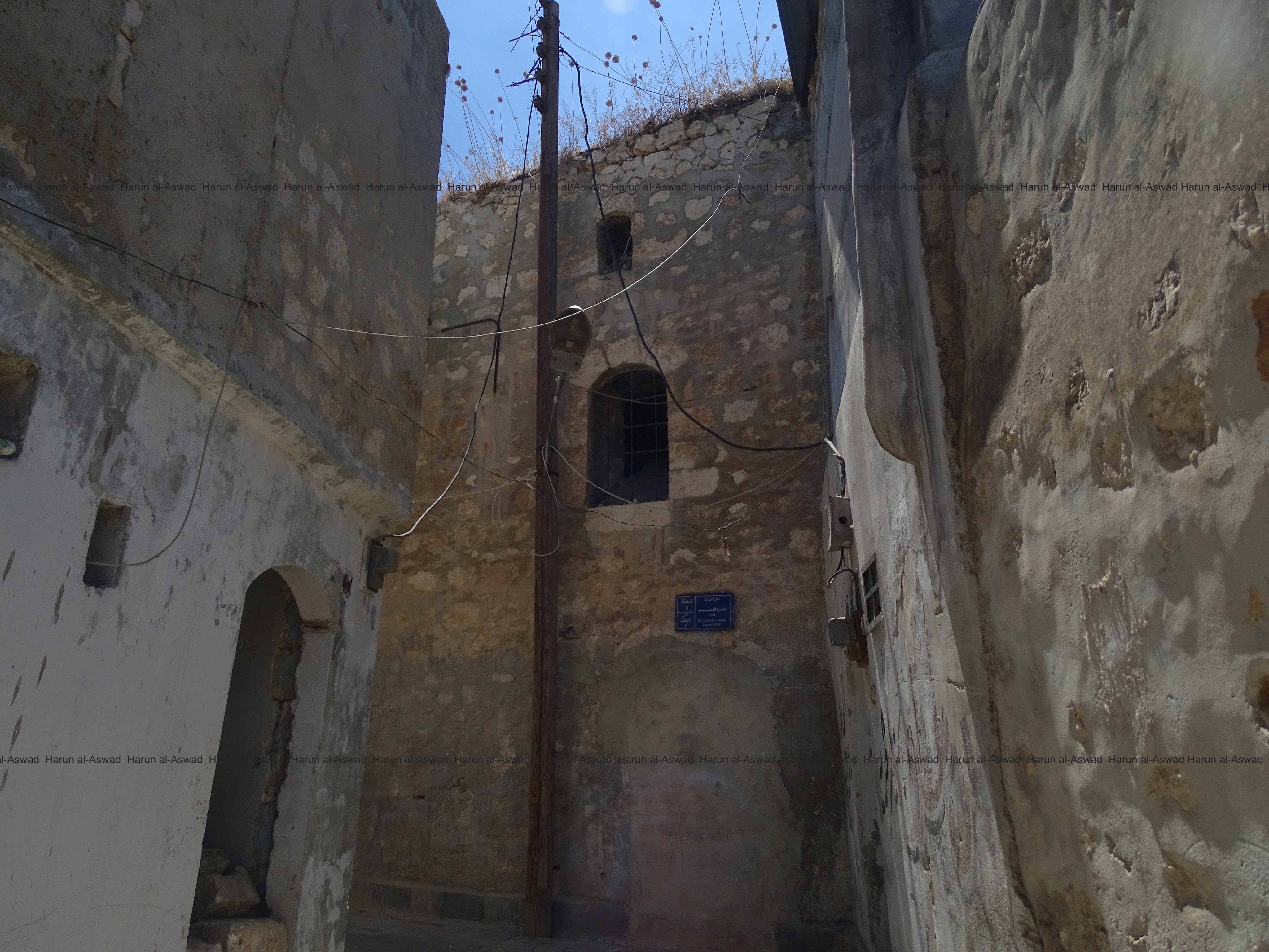
Some pictures of the city of Ariha, which is also an ancient city in the south of the province of Idlib.
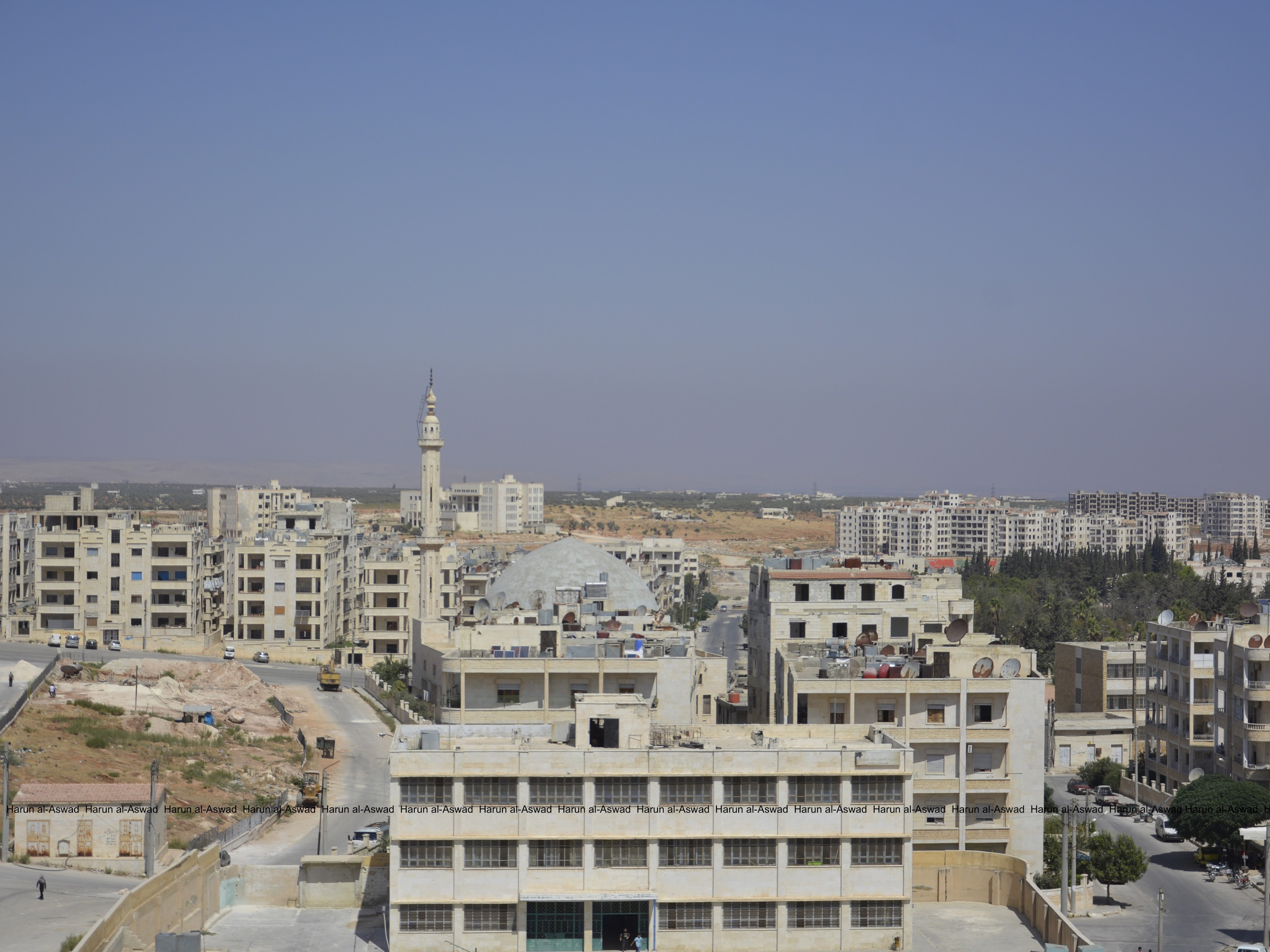
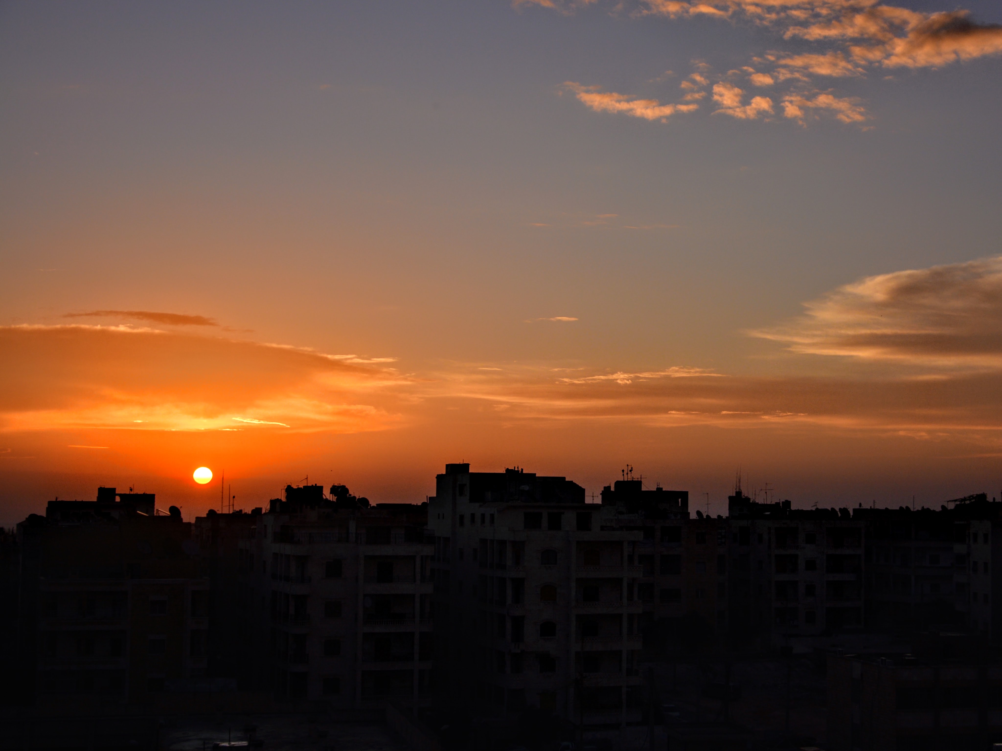
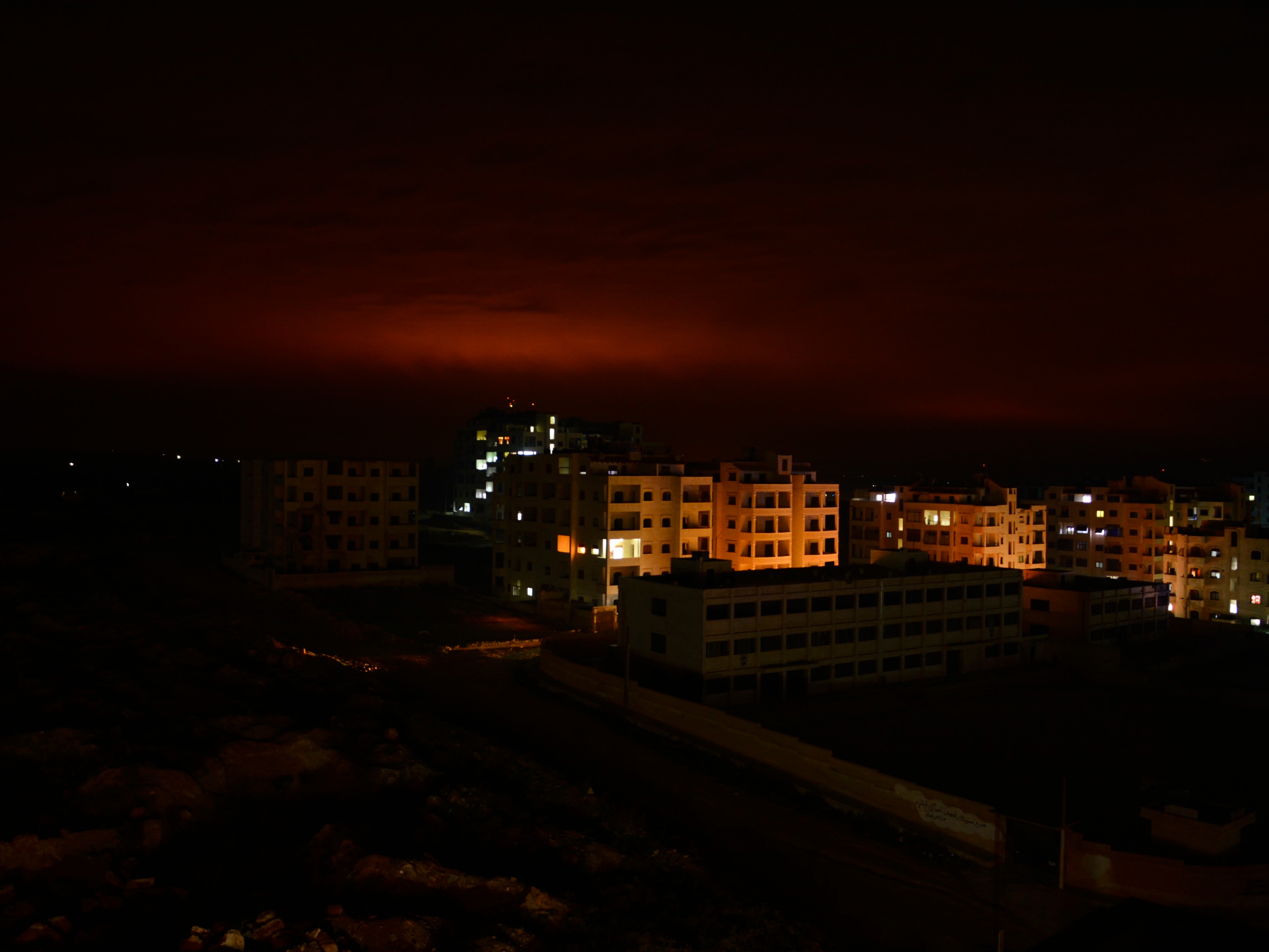
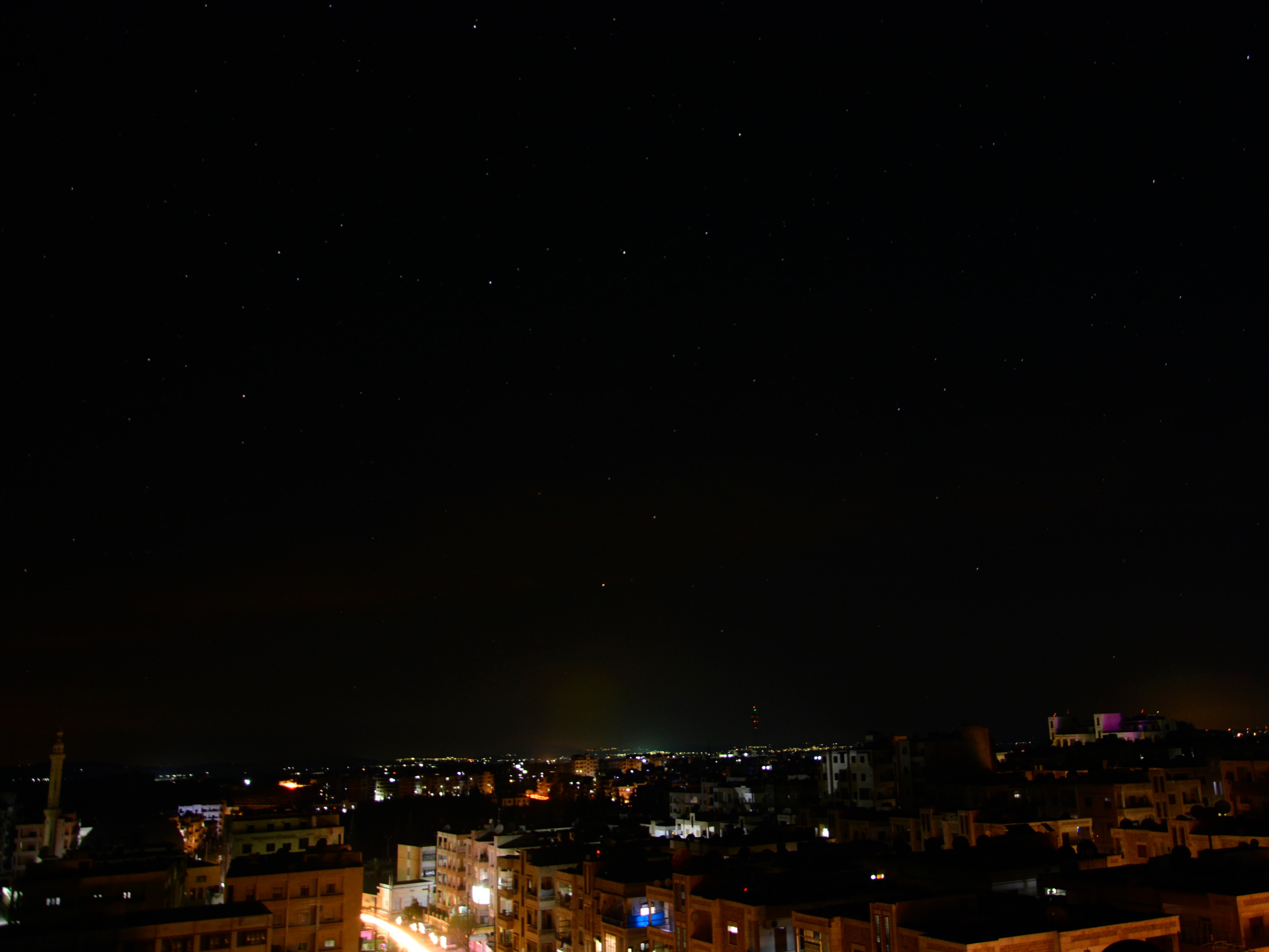
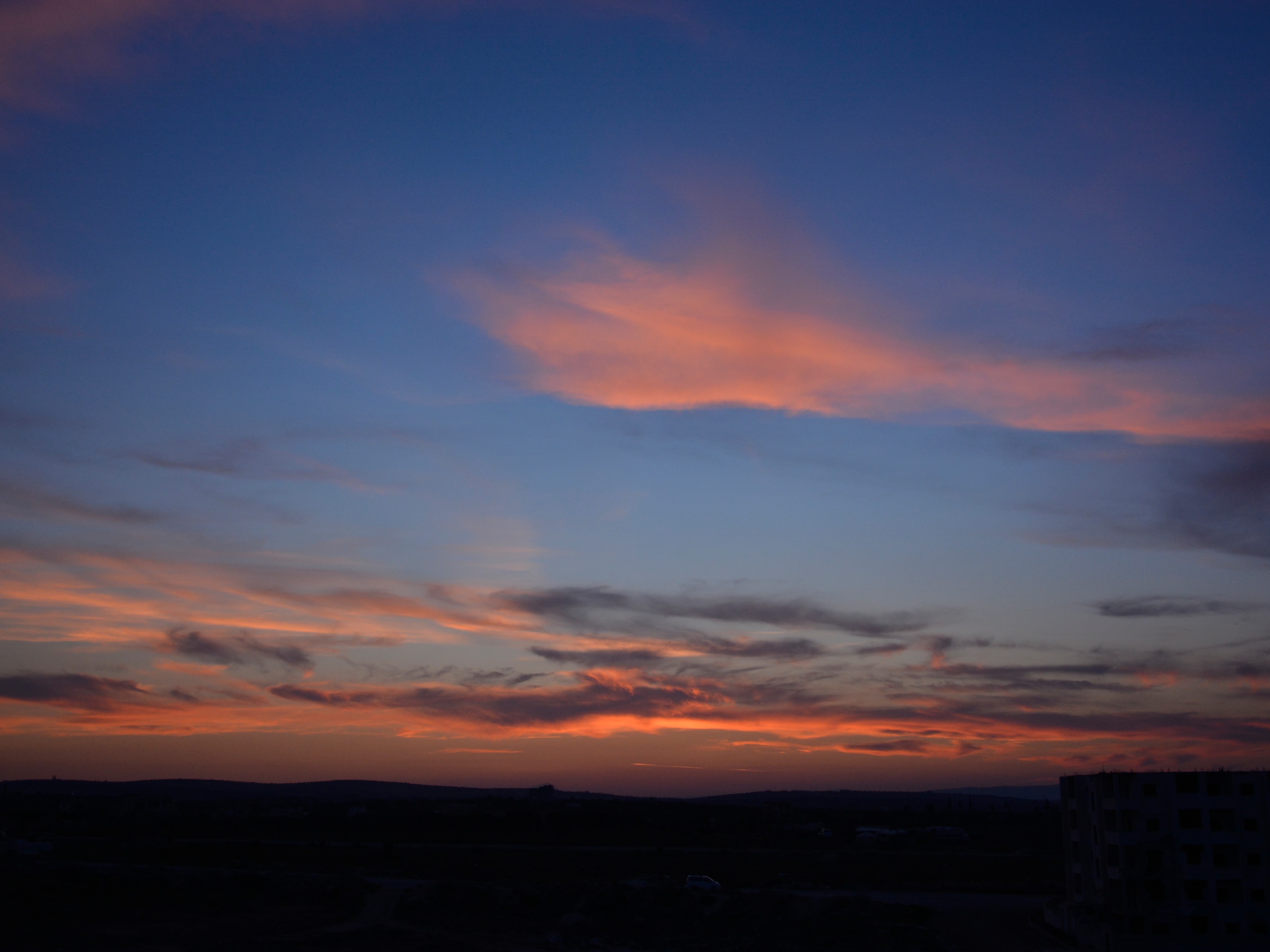
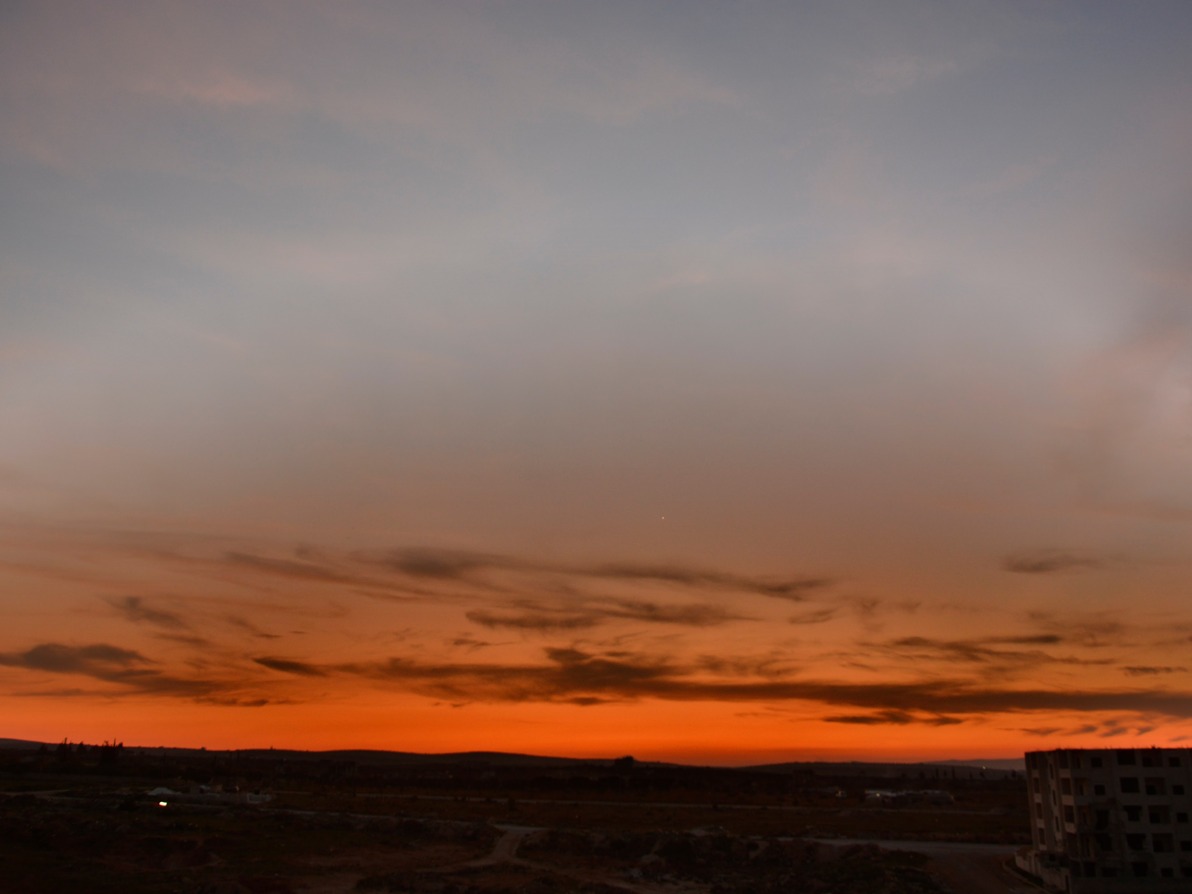
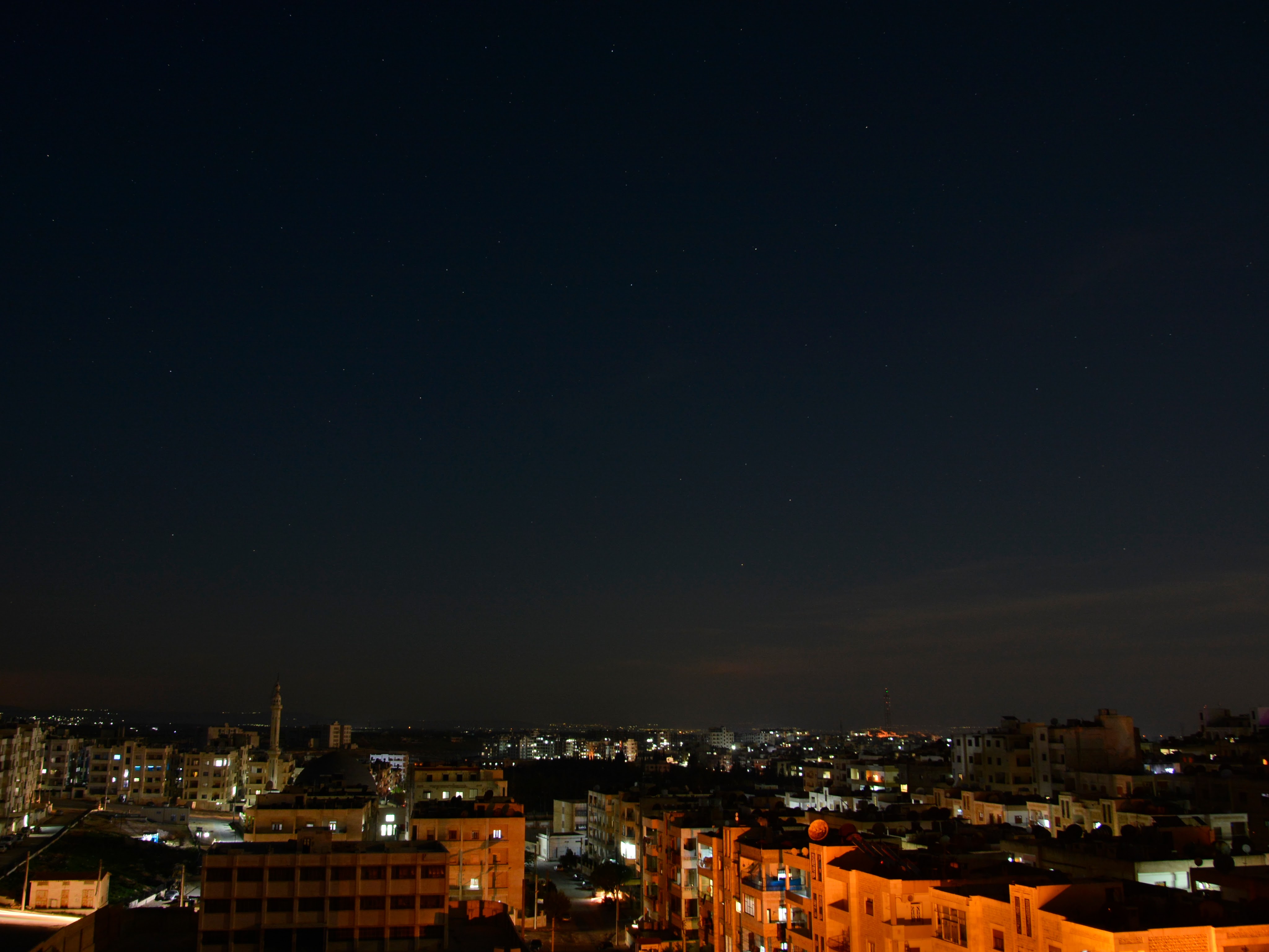
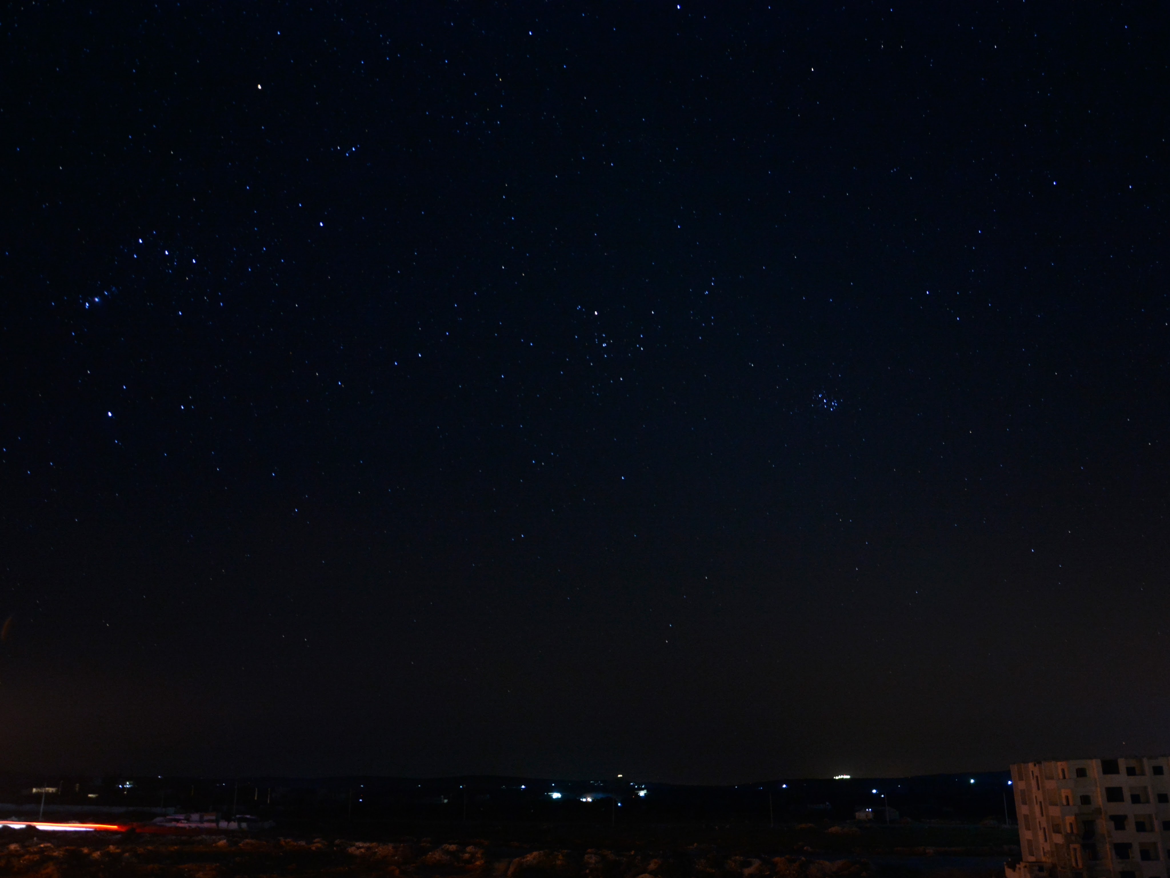
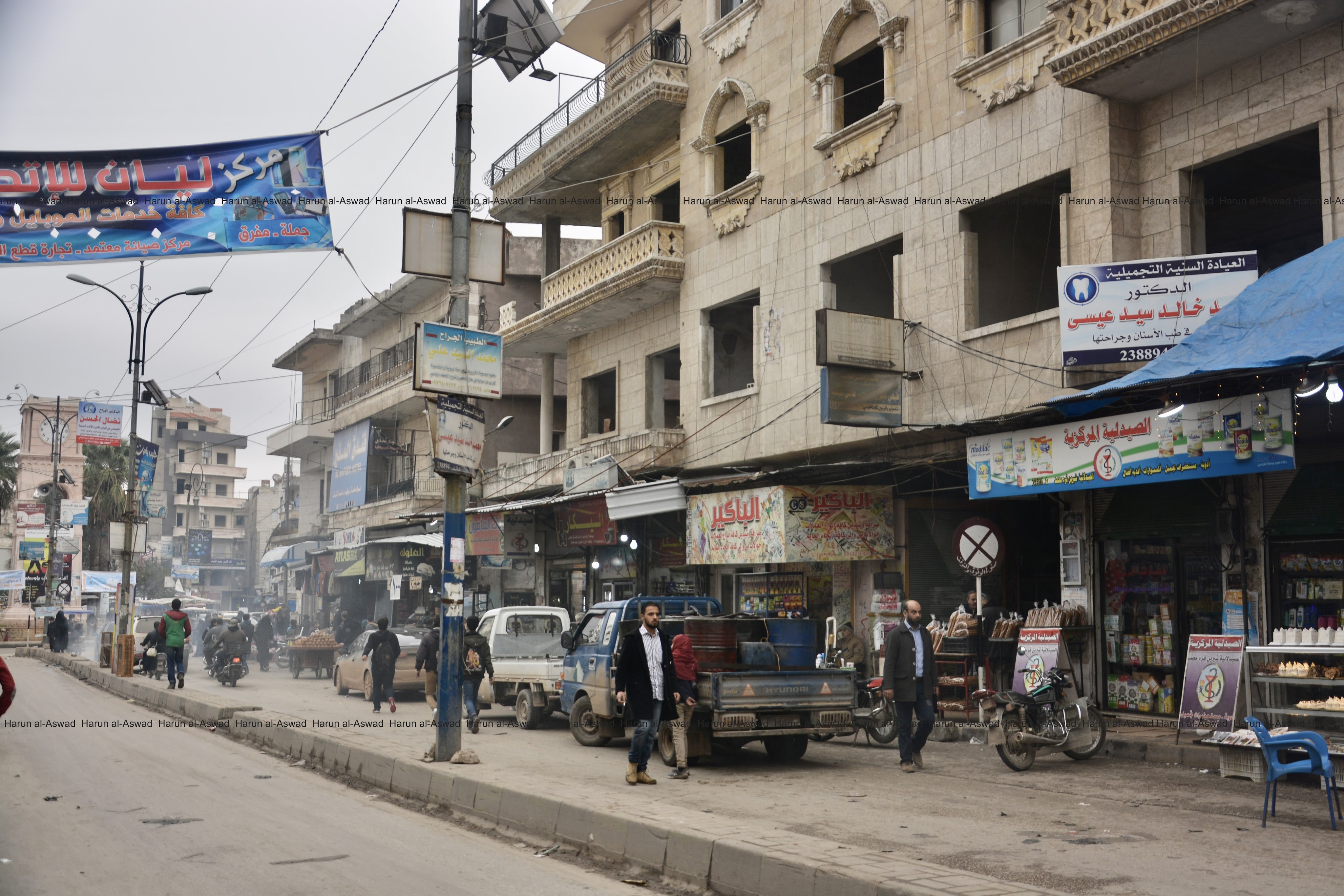
A general photos for Idlib photo were taken from the former apartment of Harun al-Aswad in the city.